
Петрушино, human settlement in Manturovsky District, Kostroma Oblast, Kostroma Oblast, Russia
Location: Октябрьское сельское поселение
GPS coordinates: 58.33613,44.44467
Latest update: March 29, 2025 16:44

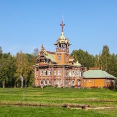
Astashovo estate
88.3 km
Kologrivsky Nature Reserve
76 km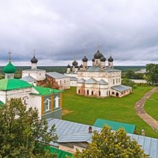
Makaryev-Unzhensky Monastery
63.2 km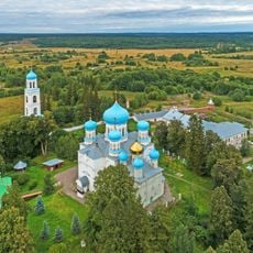
Avraamiev Monastery, Kostroma Oblast
118.9 km
Lake Chukhloma
117.2 km
Vysokovsky Assumption Monastery
109.2 km
Paisievo-Galichsky Monastery
123 km
Галичский кремль
121.9 km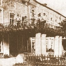
Нероново (Костромская область)
128.9 km
Museum in Zavrazhye
128.4 km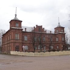
Kologriv local history museum
55 km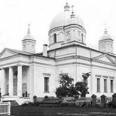
Holy Trinity Cathedral (Galich)
122.1 km
Кузнєцово (Шар'їнський район)
54.1 km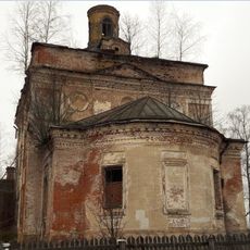
Церковь Николая Чудотворца, что на Дору
88.8 km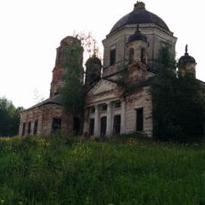
Dormilion church
113.7 km
Богчино (залізничний роз'їзд, Костромська область)
116.2 km
Рамешинский
118.2 km
Дюковское лесничество
56.2 km
Носковський (кордон)
104.5 km
Казначейство (Юрьевец)
137 km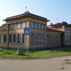
Дом лесопромышленника Ефимова (Юрьевец)
136.3 km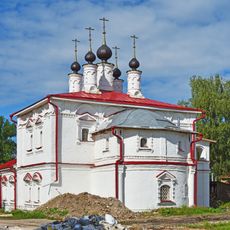
Church of the Epiphany, Galich
122.7 km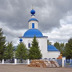
Saints Cosmas and Damian church, Galich
123.6 km
Земская больница на 24 кровати (Юрьевец)
136.1 km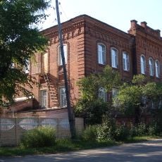
Училище Миндовского (Юрьевец)
137.1 km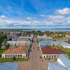
Trade Arcades, Galich
122.5 km
Городище «Пушкариха» (Юрьевец)
136.7 km
Bobrishny Ugor reserve
133 kmReviews
Visited this place? Tap the stars to rate it and share your experience / photos with the community! Try now! You can cancel it anytime.
Discover hidden gems everywhere you go!
From secret cafés to breathtaking viewpoints, skip the crowded tourist spots and find places that match your style. Our app makes it easy with voice search, smart filtering, route optimization, and insider tips from travelers worldwide. Download now for the complete mobile experience.

A unique approach to discovering new places❞
— Le Figaro
All the places worth exploring❞
— France Info
A tailor-made excursion in just a few clicks❞
— 20 Minutes