
罗曼诺夫卡农村居民点, human settlement in Olkhovsky District, Volgograd Oblast, Russia
Location: Olkhovsky District
Capital city: Romanovka
GPS coordinates: 49.76611,45.09139
Latest update: March 8, 2025 16:28

Stepan Razin Cliff
102.1 km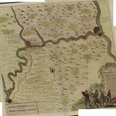
Petrov Val canal
40.8 km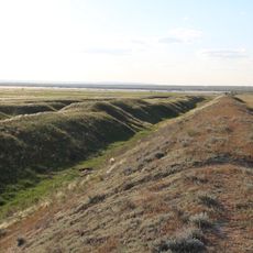
Tsaritsin guard line
105.9 km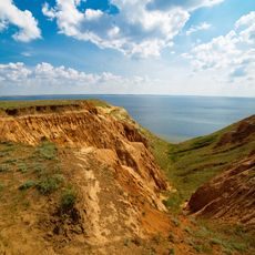
Alexander Graben
33.6 km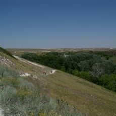
Belogorsky Kamennobrodsky Monastery
47.9 km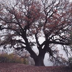
Patriarch Oak
80.8 km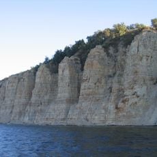
Stolbichi
95.6 km
Щербаковская балка
92.9 km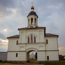
Dubovsky Ascension Monastery
82 km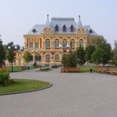
Zemstvo of Kamyshin
41.6 km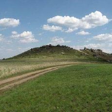
Камышинские горы Уши и Лоб
44.3 km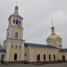
Նիկոլսկի մայր տաճար
41.2 km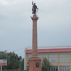
Კამიშინის დიმიტრი თესალონიკელის ძეგლი
43.1 km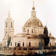
Trinity Church
106.3 km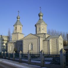
Church of Dmitry Donskoy in Ilovlya
95.3 km
Красноиловлинский (разъезд)
31.5 km
Забурунний (селище)
29.8 km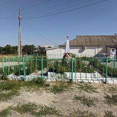
Mass grave in khutor Shurupovsky
99.7 km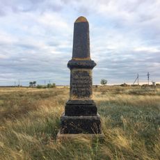
Grave of Leonid Ivanovich Chernushkin
67.5 km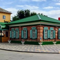
Moskovskaya Street, 7, Frolovo
103.5 km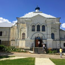
Church of St. John the Forerunner in Dubovsky Ascension Monastery
82 km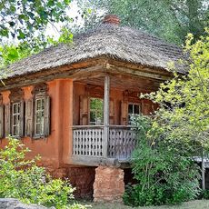
Museum of Cossack life, Ilovlya
92.2 km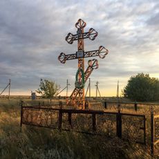
The grave of A.M. Zherebtsov
67.5 km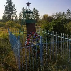
Graves of Sergey Timofeyev
79.9 km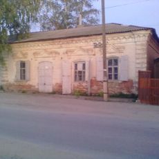
Budenny street, 71, Ilovlya
95.7 km
Prud Zherebtsov
69.7 km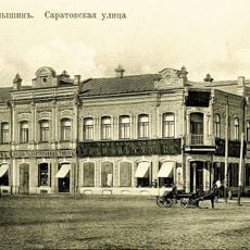
Altuhov's House (Oktyabrskaya, 40)
42 km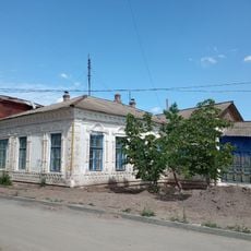
Merchant Deev's House
103.4 kmVisited this place? Tap the stars to rate it and share your experience / photos with the community! Try now! You can cancel it anytime.
Discover hidden gems everywhere you go!
From secret cafés to breathtaking viewpoints, skip the crowded tourist spots and find places that match your style. Our app makes it easy with voice search, smart filtering, route optimization, and insider tips from travelers worldwide. Download now for the complete mobile experience.

A unique approach to discovering new places❞
— Le Figaro
All the places worth exploring❞
— France Info
A tailor-made excursion in just a few clicks❞
— 20 Minutes