
上布济诺夫卡农村居民点, human settlement in Kletsky District, Volgograd Oblast, Russia
Location: Kletsky District
Capital city: Verkhnyaya Buzinovka
GPS coordinates: 49.06056,43.21139
Latest update: March 3, 2025 10:40

Volga–Don Canal
87.8 km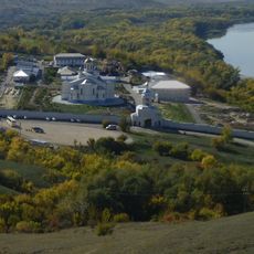
Ust-Medveditskaya Transfiguration Monastery
67.6 km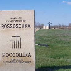
Deutscher Soldatenfriedhof Rossoschka
74.4 km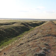
Tsaritsin guard line
67.3 km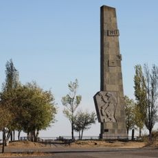
Lysaya Gora
98.2 km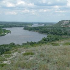
Natural Park Donskoy
52 km
Soldatskoye Pole
94.4 km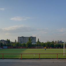
Olympia Stadium, Volgograd
98.2 km
Усть-Медведицкий (природный парк)
71.2 km
Nizhnehopersky Nature Park
72.9 km
Karpovskoye Vodokhranilishche
57.1 km
Holy Ascension Monastery Kremensky
55.8 km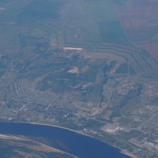
Zelonoye koltso
91.6 km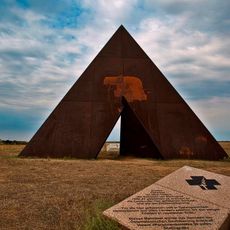
Spine
93.1 km
Konny
86 km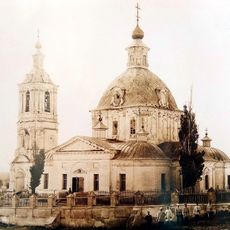
Trinity Church
60 km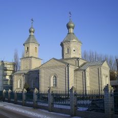
Church of Dmitry Donskoy in Ilovlya
62.3 km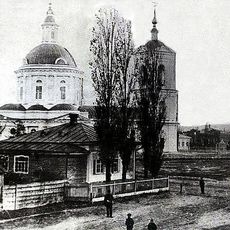
Знаменская церковь (Клетская)
30.3 km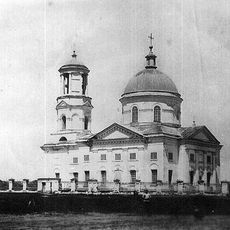
Покровская церковь (Букановская)
93.7 km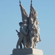
Connection of fronts monument
54.6 km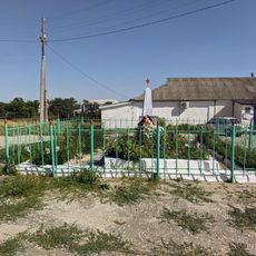
Mass grave in khutor Shurupovsky
82.8 km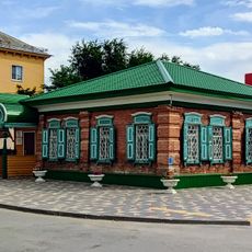
Moskovskaya Street, 7, Frolovo
84.5 km
Museum of Cossack life, Ilovlya
65.1 km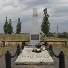
Mass grave on Lysaya Gora
98.8 km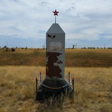
The grave of Nikolai Cheprakov
69.1 km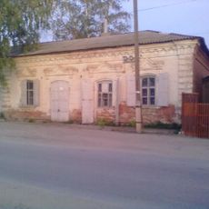
Budenny street, 71, Ilovlya
61.8 km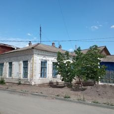
Merchant Deev's House
84.9 km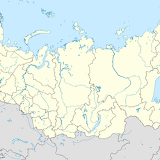
Bereslavskoye Vodokhranilishche
82 kmReviews
Visited this place? Tap the stars to rate it and share your experience / photos with the community! Try now! You can cancel it anytime.


Discover hidden gems everywhere you go!
From secret cafés to breathtaking viewpoints, skip the crowded tourist spots and find places that match your style. Our app makes it easy with voice search, smart filtering, route optimization, and insider tips from travelers worldwide. Download now for the complete mobile experience.

A unique approach to discovering new places❞
— Le Figaro
All the places worth exploring❞
— France Info
A tailor-made excursion in just a few clicks❞
— 20 Minutes