
Майське сільське поселення, human settlement in Abatsky District, Tyumen Oblast, Russia
Location: Abatsky District
Capital city: Майський (Абатський район)
GPS coordinates: 55.93365,70.14852
Latest update: March 22, 2025 17:04

Нептун
134.1 km
Аквапарк
197.4 km
Синицинский бор
42.8 km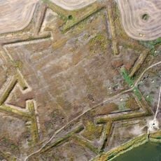
Intercession Fortress
171.3 km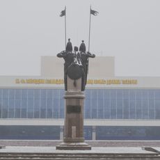
Regional Russian Drama Theatre Nikolai Pogodin
134.7 km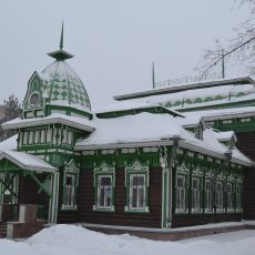
North Kazakhstan Regional Museum of Fine Arts
134.5 km
Юнино
127.1 km
Sokolovka Aūdany
102.4 km
Losev Redoubt
119.2 km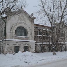
Янгуразов көпестің үйі
135.3 km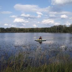
Аквапарк Политотдел
206.3 km
Новокиевский
158 km
Wolf Redoubt
156.8 km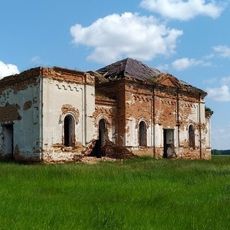
St. Nicholas Church
190.9 km
Кочковатский
111.1 km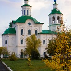
Church of the Epiphany (Ishim)
46.4 km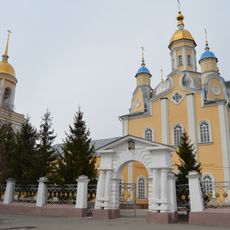
Saints Peter and Paul Orthodox cathedral in Petropavlovsk
134.3 km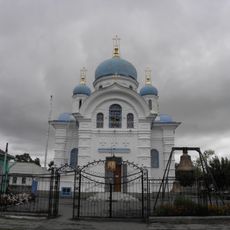
Saint Nicholas Church, Ishim
47.5 km
Kirovskiy Rayon
136 km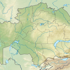
Kuybyshevskiy Rayon
136 km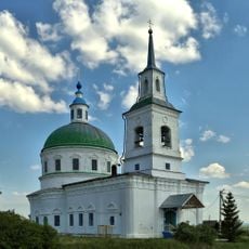
Церковь Архистратига Михаила (Боровое)
39.4 km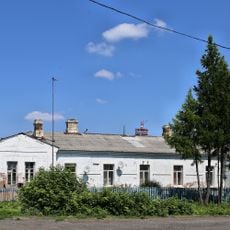
Дом жилой (Голышманово)
121 km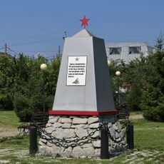
Братская могила участников подавления кулацко-эсеровского мятежа (Голышманово)
121 km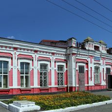
Вокзал железнодорожный (Голышманово)
121 km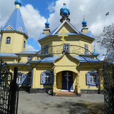
Покровская церковь (Ишим)
44 km
Дом жилой (Голышманово)
120.9 km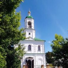
Свято-Троицкая церковь (Юргинское)
196.2 km
Водонапорная башня (Голышманово)
121.1 kmReviews
Visited this place? Tap the stars to rate it and share your experience / photos with the community! Try now! You can cancel it anytime.
Discover hidden gems everywhere you go!
From secret cafés to breathtaking viewpoints, skip the crowded tourist spots and find places that match your style. Our app makes it easy with voice search, smart filtering, route optimization, and insider tips from travelers worldwide. Download now for the complete mobile experience.

A unique approach to discovering new places❞
— Le Figaro
All the places worth exploring❞
— France Info
A tailor-made excursion in just a few clicks❞
— 20 Minutes