
Maximovka, human settlement in Municipal Formation of the City of Slavgorod, Altai Krai, Russia
Location: Municipal Formation of the City of Slavgorod
GPS coordinates: 53.08974,78.77238
Latest update: June 14, 2025 00:54

Lake Chany
207.2 km
Mashkhur Jusup Mosque
151.4 km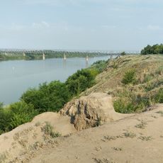
Goose flight
152.9 km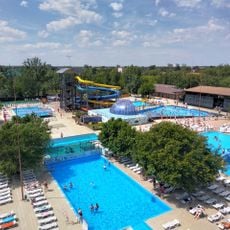
Лава
23.2 km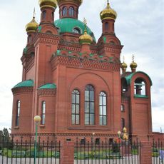
Annunciation Cathedral, Pavlodar
152.6 km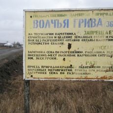
Волчья Грива
201.6 km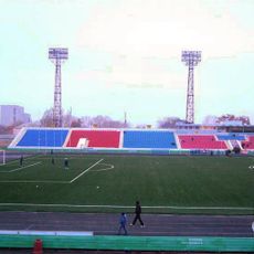
Pavlodar Central Stadium
152.7 km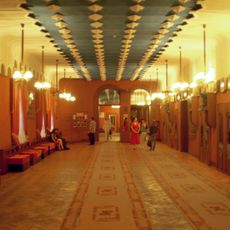
A. P. Chekhov Drama Theatre
153.3 km
State Forest Nature Reservat "Ertis Ormany"
139.9 km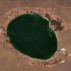
Borli
150.5 km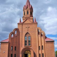
Catholic church of Saint Thereza in Pavlodar
148.7 km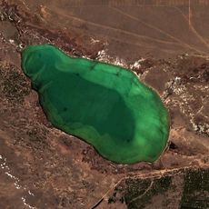
Tuz (Akkuly District)
198.1 km
Gorkoye Lake
196.2 km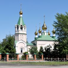
Церковь Святого Апостола и Евангелиста Луки (Купино)
171.7 km
Kilty, Altai Krai
57.8 km
Родино
204.4 km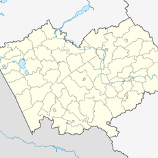
Novosovkhozny
47.8 km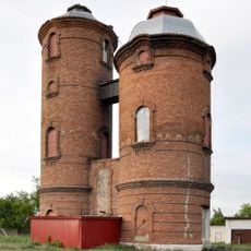
Насосная станция с двумя водонапорными башнями
171.5 km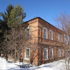
Здание представительства компании «Зингер» (Краснозёрское)
103.4 km
Mirny, Burlinsky District, Altai Krai
51.2 km
Центральный
86.8 km
Водная горка
188.2 km
Podstepnovsky
210 km
Гоноховський
179.4 km
State Nature Sanctuary "Floodplain of the Irtysh River" (complex)
152.3 km
Il'ichevskiy Rayon
151.1 km
Industrial'nyy Rayon
151.1 km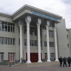
Aimautov Drama Theatre
152.2 kmReviews
Visited this place? Tap the stars to rate it and share your experience / photos with the community! Try now! You can cancel it anytime.
Discover hidden gems everywhere you go!
From secret cafés to breathtaking viewpoints, skip the crowded tourist spots and find places that match your style. Our app makes it easy with voice search, smart filtering, route optimization, and insider tips from travelers worldwide. Download now for the complete mobile experience.

A unique approach to discovering new places❞
— Le Figaro
All the places worth exploring❞
— France Info
A tailor-made excursion in just a few clicks❞
— 20 Minutes