

Lazovsky Zapovednik
38.1 km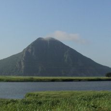
Sestra
120.9 km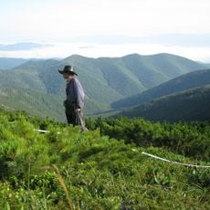
Zov Tigra National Park
22.7 km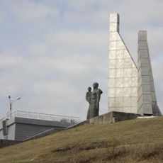
Monument to the crew members of the SRTM Boksitogorsk, who died at sea
126.1 km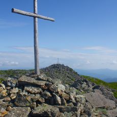
Olkhovaya
50.2 km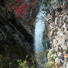
Беневские водопады
47.6 km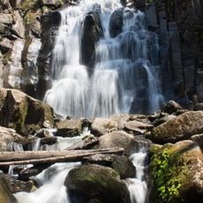
Waterfall on Left Gorbaty Spring
125.4 km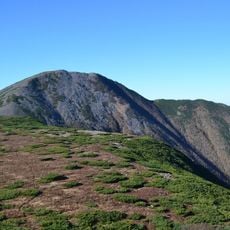
Oblachnaya
35.6 km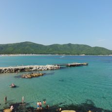
Triozyorye
110.5 km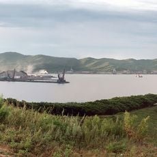
Wrangel Cove
121.1 km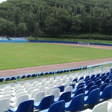
Stadion Wodnik w Nachodce
131.4 km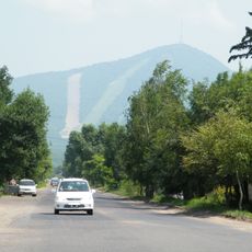
Obzornaya
108.5 km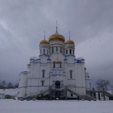
Church of the Theotokos of Kazan (Nakhodka)
130.3 km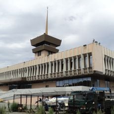
Sea Terminal, Nakhodka
130.3 km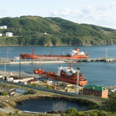
Novitsky Cove
131.2 km
Музейно-выставочный центр «Находка»
129.8 km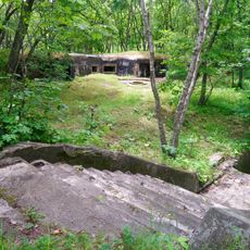
Battery 905
135.5 km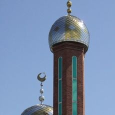
Mosques in Primorsky Krai
126.3 km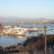
Basin in Bukhta Nakhodka
130.1 km
Bukhta Popova
134.4 km
Bukhta Litovka
133.1 km
Бухта Лебединое озеро
135.4 km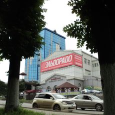
Kinoteatr Burevestnik
128.2 km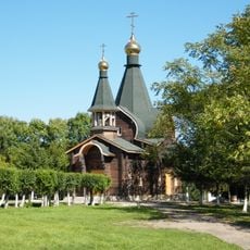
Category:Saint Olga Orthodox church in Olga
90.9 km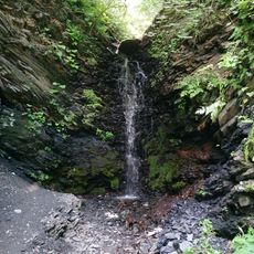
Водопад Находкинский
135.3 km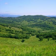
Pad Khodi-Mirovskaya
133.8 km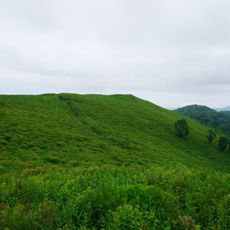
Krestovaya Mountain, Trudny Peninsula
129.1 km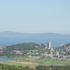
Sopka Tsentralnaya
128.5 kmReviews
Visited this place? Tap the stars to rate it and share your experience / photos with the community! Try now! You can cancel it anytime.
Discover hidden gems everywhere you go!
From secret cafés to breathtaking viewpoints, skip the crowded tourist spots and find places that match your style. Our app makes it easy with voice search, smart filtering, route optimization, and insider tips from travelers worldwide. Download now for the complete mobile experience.

A unique approach to discovering new places❞
— Le Figaro
All the places worth exploring❞
— France Info
A tailor-made excursion in just a few clicks❞
— 20 Minutes