
Jokkmokk, district in Jokkmokk Municipality, Sweden
Location: Jokkmokk Municipality
Inception: January 1, 2016
Part of: Lapland
GPS coordinates: 66.60408,19.83058
Latest update: March 8, 2025 00:15
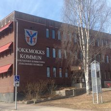
Jokkmokk Municipality
1.4 km
Porjus Hydroelectric Power Station
39.9 km
Dundret
63.1 km
Muddus National Park
38.3 km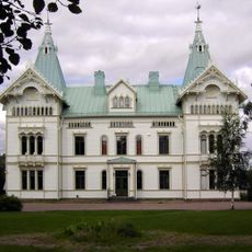
Fjällnäs Castle
68.5 km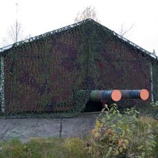
Victoria Fort
40.4 km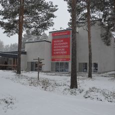
Ájtte
488 m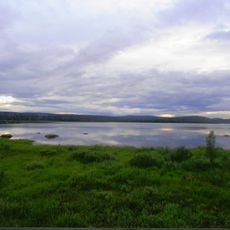
Stora Lulevatten
60.2 km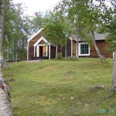
Gällivare gamla kyrka
68.8 km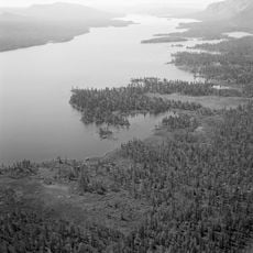
Karats
45.5 km
Vuollerimboplatsen
38.6 km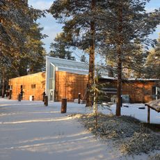
Vuollerim 6000 Natur och Kultur
39.3 km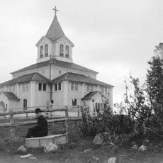
Gällivare Church
69.1 km
Stubba nature reserve
54.8 km
Skalka
51 km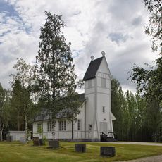
Puottaure Church
49.5 km
Timmerflottaren
251 m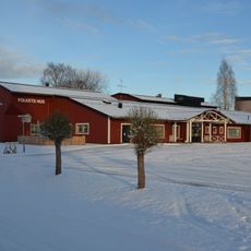
Folkets Hus Vuollerim
40.2 km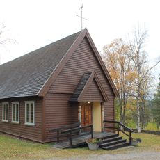
Porjus kyrka
39.1 km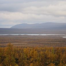
Ultevis fjällurskog
64.4 km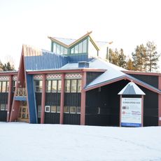
Kunskapens hus
666 m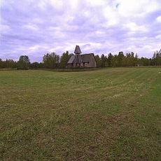
Ålloluokta kapell
59.8 km
Bio Norden
327 m
Serri
16.9 km
Tall Sarkavare
27.4 km
Nabreluokta kapell
63.8 km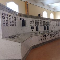
Porjus gamla kraftstation, Porjus expo
38.7 km
Gällivare kommunhus
69.2 kmReviews
Visited this place? Tap the stars to rate it and share your experience / photos with the community! Try now! You can cancel it anytime.
Discover hidden gems everywhere you go!
From secret cafés to breathtaking viewpoints, skip the crowded tourist spots and find places that match your style. Our app makes it easy with voice search, smart filtering, route optimization, and insider tips from travelers worldwide. Download now for the complete mobile experience.

A unique approach to discovering new places❞
— Le Figaro
All the places worth exploring❞
— France Info
A tailor-made excursion in just a few clicks❞
— 20 Minutes