
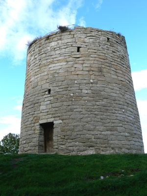
Sundre kastal, defensive tower in Gotland
Location: Gotland Municipality
Height: 13 m
Diameter: 15 m
GPS coordinates: 56.93626,18.18262
Latest update: March 8, 2025 03:42
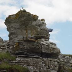
Hoburgsgubben
3.6 km
Hoburgen
4 km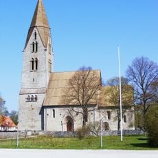
Öja Church
13.2 km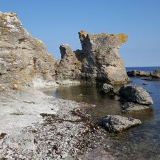
Holmhällar
6.8 km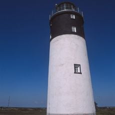
Hoburg lighthouse
2.5 km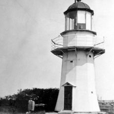
Faludden Lighthouse
14.5 km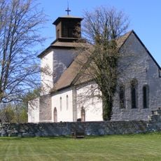
Vamlingbo Church
4.7 km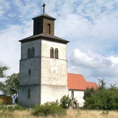
Fide church
17.3 km
Husygg nature reserve
1.9 km
Bottarve
7.3 km
Gotlands runinskrifter 21
13.1 km
Gotlands runinskrifter 22
13.1 km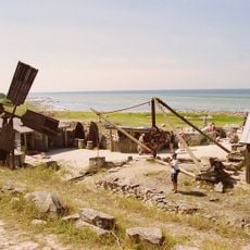
Kettelvik Stone Museum
2.1 km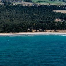
Lundar
5 km
Fide lövskog
18 km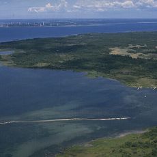
Västlands
8.8 km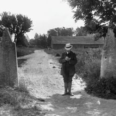
Gotlands runinskrifter 8
7.2 km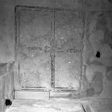
Gotland runic inscription 28
17.3 km
Västlandets bathing water
7.3 km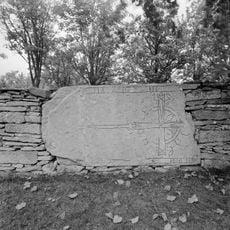
Gotland runic inscription 26
13.2 km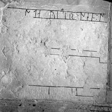
Gotland runic inscription 24
13.1 km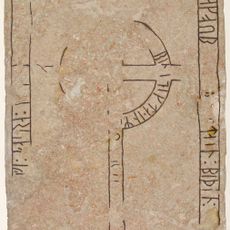
Gotlands runinskrifter 13
9.1 km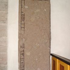
Gotlands runinskrifter 14
9.1 km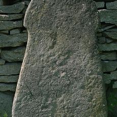
Fide 43:1
18.1 km
Vamlingbos prästgård
4.6 km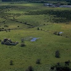
Fridarve gamla tomt
7.3 km
Rone 26:1
19 km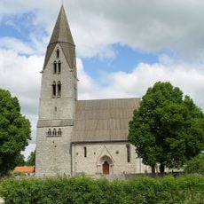
Öja kyrka
13.1 kmReviews
Visited this place? Tap the stars to rate it and share your experience / photos with the community! Try now! You can cancel it anytime.
Discover hidden gems everywhere you go!
From secret cafés to breathtaking viewpoints, skip the crowded tourist spots and find places that match your style. Our app makes it easy with voice search, smart filtering, route optimization, and insider tips from travelers worldwide. Download now for the complete mobile experience.

A unique approach to discovering new places❞
— Le Figaro
All the places worth exploring❞
— France Info
A tailor-made excursion in just a few clicks❞
— 20 Minutes