
Grangärde 329:1, ristning, medeltid/historisk tid i Dalarna
Location: Ludvika Municipality
GPS coordinates: 60.24005,14.88993
Latest update: March 5, 2025 10:07
Grängesberg mines
19.2 km
Luossastugan
9.9 km
Kestina
14.8 km
Cassels donation
18.7 km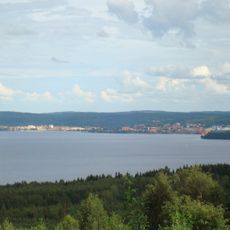
Lake Väsman
10.7 km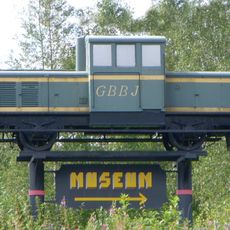
Railway Museum of Grängesberg
19.5 km
Ludvika herrgård
19 km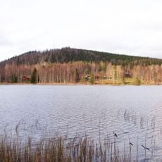
Hästbergs klack
13.9 km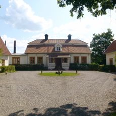
Sunnansjö herrgård
4.9 km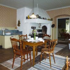
Hammarbacken, museilägenhet
18.9 km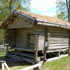
Finngammelgården
10.3 km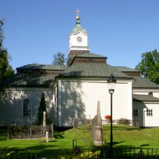
Ludvika Ulrika Church
19.1 km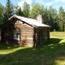
Bränntjärn cottage
15.2 km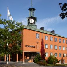
Ludvika Town Hall
19.2 km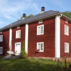
Storgården i Brunnsvik
13.7 km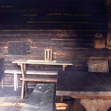
Finngården Rikkenstorp
16.7 km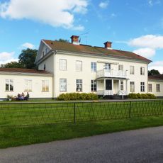
Grangärde herrgård
5.4 km
Saga
19.2 km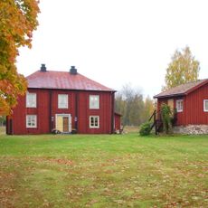
Gonäs bergsmansgård
15.6 km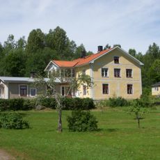
Norrbo
5 km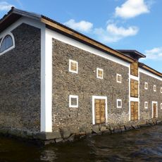
Nyhammars spannmålsmagasin
5.3 km
Björken
6.5 km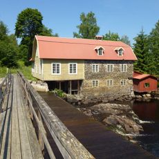
Sunnansjö kvarn
4.7 km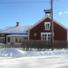
Saxdalens kapell
11.2 km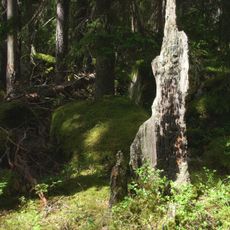
Nybrännberget
5.6 km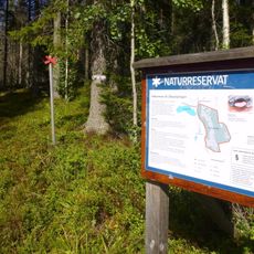
Olkosröjningen
15.8 km
Grangärde 53:1
5.3 km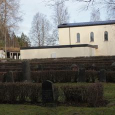
Grängesbergs Kapell
19.5 kmReviews
Visited this place? Tap the stars to rate it and share your experience / photos with the community! Try now! You can cancel it anytime.
Discover hidden gems everywhere you go!
From secret cafés to breathtaking viewpoints, skip the crowded tourist spots and find places that match your style. Our app makes it easy with voice search, smart filtering, route optimization, and insider tips from travelers worldwide. Download now for the complete mobile experience.

A unique approach to discovering new places❞
— Le Figaro
All the places worth exploring❞
— France Info
A tailor-made excursion in just a few clicks❞
— 20 Minutes