
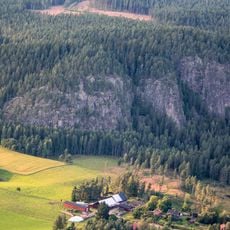
Backgården, husgrund, historisk tid i Dalarna (Husby 186:1)
Location: Hedemora Municipality
GPS coordinates: 60.41325,15.95749
Latest update: March 16, 2025 11:17
Bispbergs klack
10.4 km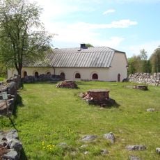
Gudsberga
12.7 km
Rällingsberg ore area
7.7 km
Säterdalen
13.2 km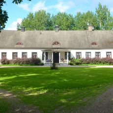
Näs kungsgård
6.5 km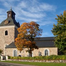
Stora Skedvi Church
8.4 km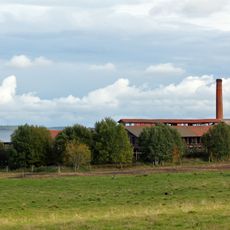
Bältarbo brickyard
12.7 km
Långshyttan Church
6.5 km
Klosters bruk
12.1 km
Klosters bruksmuseum
12.1 km
Skärsjöstenen
11.5 km
Parlogen i Nyhyttan
12.8 km
Hedemora 52:1
12.4 km
Långshyttans Brukshistoriska Förening
6.1 km
Kaplansgården
8.6 km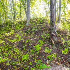
Hedemora 56:1
10.4 km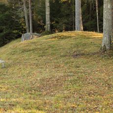
Hedemora 63:1
10.8 km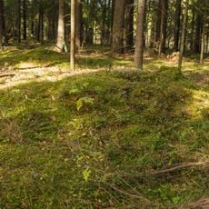
Hedemora 67:2
10.7 km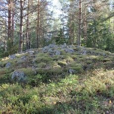
Hedemora 102:1
9 km
Husby 398:1
12.3 km
Hedemora 63:3
10.8 km
Hedemora 51:1
12.5 km
Husby hembygdsgård
3.6 km
Matbosjöns badplats
12.8 km
Hedemora 67:3
10.7 km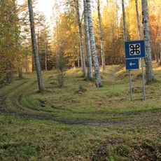
Kapellbäcken
10.6 km
Hedemora 67:1
10.7 km
Hedemora 63:2
10.8 kmReviews
Visited this place? Tap the stars to rate it and share your experience / photos with the community! Try now! You can cancel it anytime.
Discover hidden gems everywhere you go!
From secret cafés to breathtaking viewpoints, skip the crowded tourist spots and find places that match your style. Our app makes it easy with voice search, smart filtering, route optimization, and insider tips from travelers worldwide. Download now for the complete mobile experience.

A unique approach to discovering new places❞
— Le Figaro
All the places worth exploring❞
— France Info
A tailor-made excursion in just a few clicks❞
— 20 Minutes