
Vinarheden, röse i Dalarna (Norrbärke 111:1)
Location: Smedjebacken Municipality
GPS coordinates: 60.10483,15.25203
Latest update: July 15, 2025 01:18
Grängesberg mines
15 km
Ekomuseum Bergslagen
5.4 km
Cassels donation
15.1 km
Lake Väsman
14.4 km
Railway Museum of Grängesberg
15.4 km
Ludvika herrgård
6.6 km
Söderbärke Church
17.7 km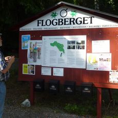
Flogberg Mine
5.5 km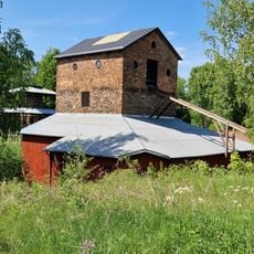
Flatenberg foundry
9.7 km
Hammarbacken, museilägenhet
6.7 km
Ludvika Ulrika Church
6.4 km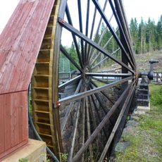
Lombergshjulet
15.4 km
Norrbärke Church
10.4 km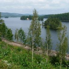
Norra Barken
14.4 km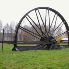
Ludvika Gammelgård
5.5 km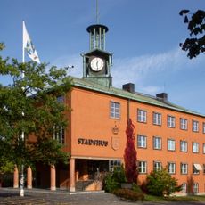
Ludvika Town Hall
6.4 km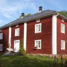
Storgården i Brunnsvik
12.8 km
Stimmerbo
16.4 km
Smedjebackens Hamn
9.8 km
Nostalgimuseet
15 km
Saga
6.1 km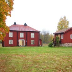
Gonäs bergsmansgård
9.6 km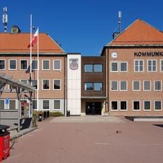
Smedjebackens köping
9.9 km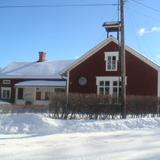
Saxdalens kapell
16.2 km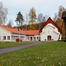
Ludvika lillkyrka
5.1 km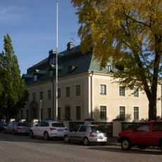
Västerbergslags domsagas tingslag
4.8 km
Bersen
17 km
Skuthamn
6.9 kmReviews
Visited this place? Tap the stars to rate it and share your experience / photos with the community! Try now! You can cancel it anytime.
Discover hidden gems everywhere you go!
From secret cafés to breathtaking viewpoints, skip the crowded tourist spots and find places that match your style. Our app makes it easy with voice search, smart filtering, route optimization, and insider tips from travelers worldwide. Download now for the complete mobile experience.

A unique approach to discovering new places❞
— Le Figaro
All the places worth exploring❞
— France Info
A tailor-made excursion in just a few clicks❞
— 20 Minutes