
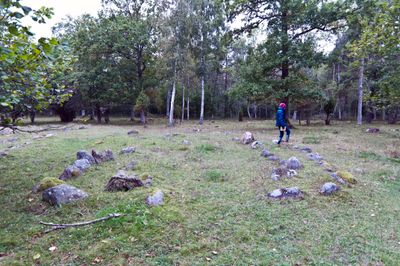
Rone 70:1, husgrund, förhistorisk/medeltida på Gotland
Location: Gotland Municipality
GPS coordinates: 57.18767,18.47681
Latest update: March 10, 2025 00:57
Hemse stave church
8 km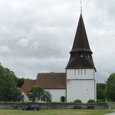
Alva Church
7.3 km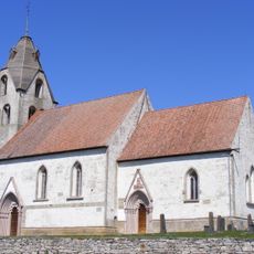
Grötlingbo Church
9.9 km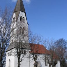
Rone Church
3.2 km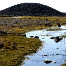
Uggarde rojr
3.1 km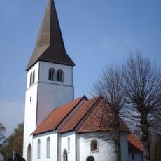
Hemse Church
8 km
Stavgard
4.7 km
Eke Church
6.3 km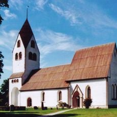
Burs Church
6.7 km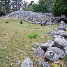
Lejsturojr
271 m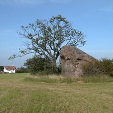
Bastustainen
2.4 km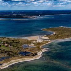
Grötlingboholme
7.2 km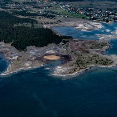
Ålarve
2.6 km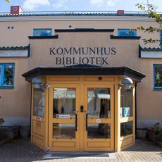
Hemse bibliotek
8.3 km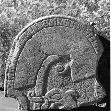
Gotland runic inscription 37
9.9 km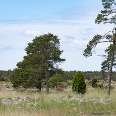
Guiding Castle
4.1 km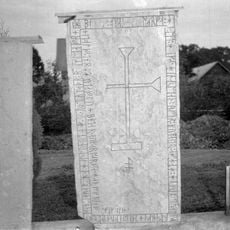
Gotland runic inscription 55
8 km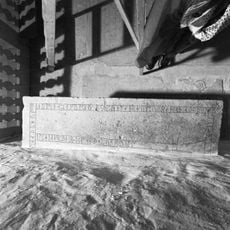
Gotland runic inscription 36
9.9 km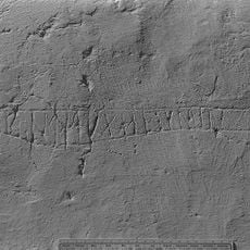
Gotland runic inscription 54
3.2 km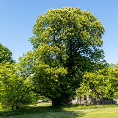
2003615 Tvåstammigt kastanjeträd
3.3 km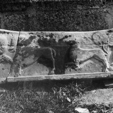
Gotland runic inscription 46
6.3 km
Angantyrs rojr
9.4 km
Östergarn 141
9.1 km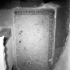
Gotland runic inscription 42
9.7 km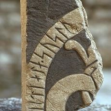
Gotland runic inscription 368
7.5 km
Badplatsen Ronehamn
1.9 km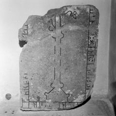
Gotland runic inscription 43
9.7 km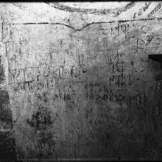
Gotland runic inscription 48
6.3 kmReviews
Visited this place? Tap the stars to rate it and share your experience / photos with the community! Try now! You can cancel it anytime.
Discover hidden gems everywhere you go!
From secret cafés to breathtaking viewpoints, skip the crowded tourist spots and find places that match your style. Our app makes it easy with voice search, smart filtering, route optimization, and insider tips from travelers worldwide. Download now for the complete mobile experience.

A unique approach to discovering new places❞
— Le Figaro
All the places worth exploring❞
— France Info
A tailor-made excursion in just a few clicks❞
— 20 Minutes