
Hullerör, röse i Småland (Östra Torsås 84:2)
Location: Växjö Municipality
GPS coordinates: 56.74493,14.99881
Latest update: August 18, 2025 11:04
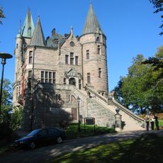
Teleborg Castle
16 km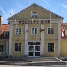
Lessebo Municipality
16.5 km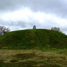
Inglinge hög
5.5 km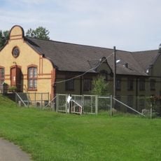
Lessebo Handpappersbruk
16.6 km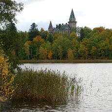
Lake Trummen
16 km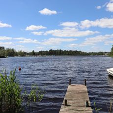
Rottnen
6.9 km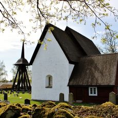
Jäts gamla kyrka
13.3 km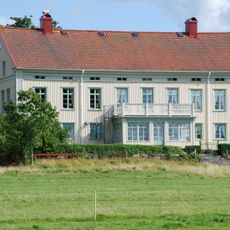
Osaby
14.2 km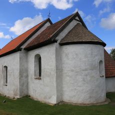
Hemmesjö gamla kyrka
12.5 km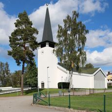
Lessebo Church
16.7 km
Teleborgs vattentorn
15.3 km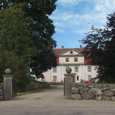
Lidhem
11.7 km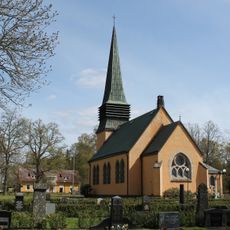
Jäts nya kyrka
12.5 km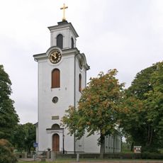
Östra Torsås Church
4.3 km
Teleborg Church
16.4 km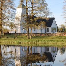
Tävelsås Church
11.1 km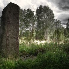
Kung Kåres sten
15 km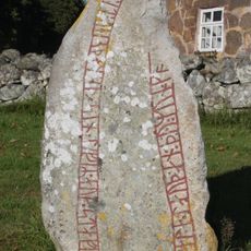
Smålands runinskrifter 16
8.4 km
Teleborg
15.2 km
Orraryds gravfält
5 km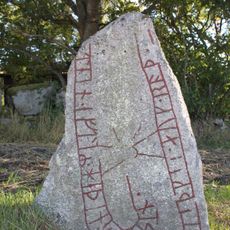
Smålands runinskrifter 8
13.7 km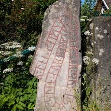
Smålands runinskrifter 13
8.6 km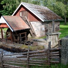
Åryds bruk
8.8 km
Hovmantorp 18:1
13.4 km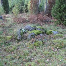
Hovmantorp 19:1
13.4 km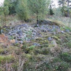
Hovmantorp 19:2
13.4 km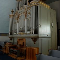
Hemmesjö nya kyrkas orgel by Magnusson and Johansson
10 km
Linneryds kyrkstallar och sockenstuga
12.7 kmReviews
Visited this place? Tap the stars to rate it and share your experience / photos with the community! Try now! You can cancel it anytime.
Discover hidden gems everywhere you go!
From secret cafés to breathtaking viewpoints, skip the crowded tourist spots and find places that match your style. Our app makes it easy with voice search, smart filtering, route optimization, and insider tips from travelers worldwide. Download now for the complete mobile experience.

A unique approach to discovering new places❞
— Le Figaro
All the places worth exploring❞
— France Info
A tailor-made excursion in just a few clicks❞
— 20 Minutes