
Tuve 19:2, stenkrets i Västergötland
Location: Gothenburg Municipality
GPS coordinates: 57.75973,11.92729
Latest update: June 12, 2025 19:39

Aeroseum
3.7 km
Aeroseum
3 km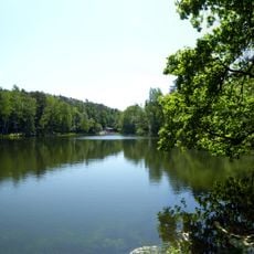
Hisingsparken
1.7 km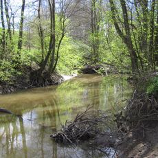
Lärjeån
4.4 km
Svartedalen, Göteborg
3.5 km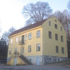
Bäckebols gård
3.4 km
Svarte mosse
4.5 km
S A Hedlunds park
2.8 km
Lundby bibliotek
4.5 km
Flunsåsparken
4 km
Skändla sörgård
2 km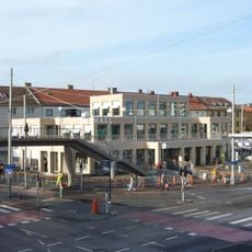
Kville saluhall
4.4 km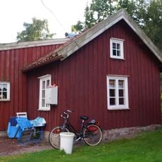
Torpet Klara
3.2 km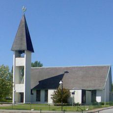
Toleredskyrkan
3.2 km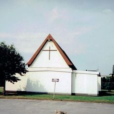
Bjurslättskyrkan
3.8 km
Bäckebols kyrksal
3.4 km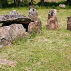
Drottning Hackas Grav
3.8 km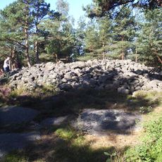
Skändla rös
2.4 km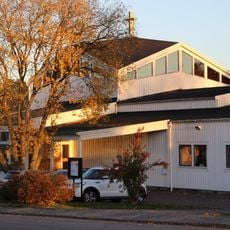
Immanuelkyrkan, Göteborg
676 m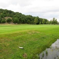
Sankt Jörgen Park Golf
2 km
St. Mary Magdalene's Church
3.1 km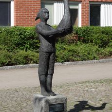
Pojken och fågeln
3.6 km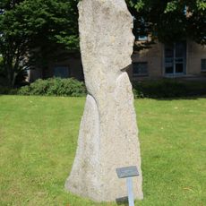
Dold i sitt eget ljus
4 km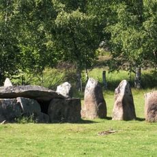
Drottning Hackas grav
3.8 km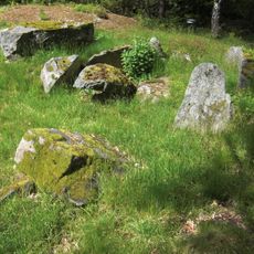
Kung Östens grav
3.8 km
Hatten
3.4 km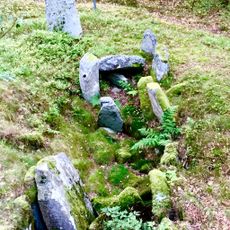
S:t Görans grav
4.4 km
Glöstorpskyrkan
611 mReviews
Visited this place? Tap the stars to rate it and share your experience / photos with the community! Try now! You can cancel it anytime.
Discover hidden gems everywhere you go!
From secret cafés to breathtaking viewpoints, skip the crowded tourist spots and find places that match your style. Our app makes it easy with voice search, smart filtering, route optimization, and insider tips from travelers worldwide. Download now for the complete mobile experience.

A unique approach to discovering new places❞
— Le Figaro
All the places worth exploring❞
— France Info
A tailor-made excursion in just a few clicks❞
— 20 Minutes