
Upphärad 127:1, stone setting in Trollhättan Municipality, Älvsborg County, Sweden
Location: Trollhättan Municipality
GPS coordinates: 58.14905,12.31057
Latest update: July 15, 2025 21:07
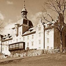
Koberg Castle
6.1 km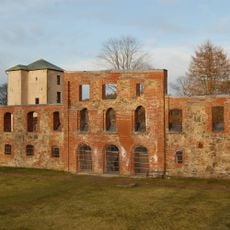
Gräfsnäs castle
13.6 km
Gemeinde Lilla Edet
8.6 km
Saab Car Museum
13.8 km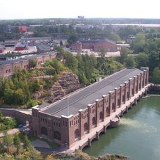
Olidan Hydroelectric Power Station
14.1 km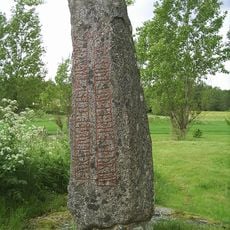
Velanda Runestone
10.1 km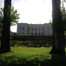
Ström House
11.6 km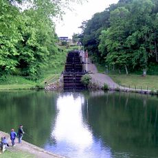
Trollhättan old locks
13.3 km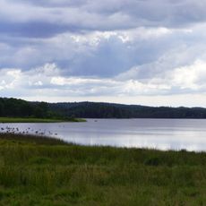
Vanderydsvattnet
4.5 km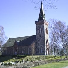
Gärdhems kyrka
10.7 km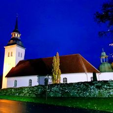
Hjärtum Church
12.3 km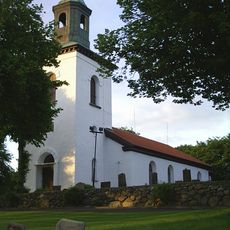
Fuxerna Church
11.2 km
Rommele Church
5.3 km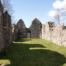
Gärdhems kyrkoruin
11.5 km
Verleskogens naturreservat
12.1 km
Innovatum Science Center
13.8 km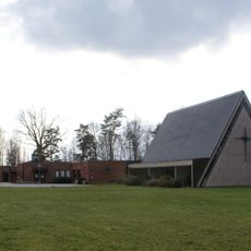
Lextorpskyrkan
12.8 km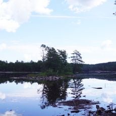
Holmevattnet, Ale Municipality
11.7 km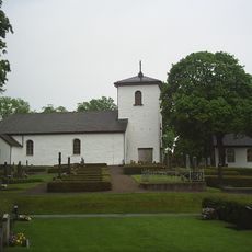
Väne-Åsaka Church
12.5 km
Velandabron
7.1 km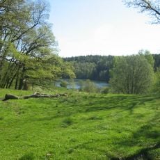
Åkerström
13.4 km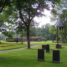
Lagmansereds kyrkoruin
8.8 km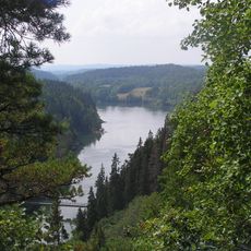
Älvrummet
14.3 km
Kungsstenarna
8.6 km
Lilla Boda naturreservat
1.4 km
Hjärtums hembygdsförening
12.2 km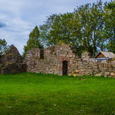
Gärdhem 30:1
11.5 km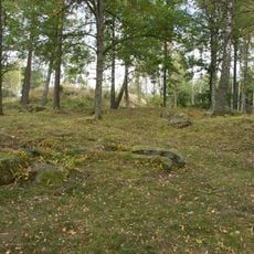
Gärdhem 60:1
8.4 kmReviews
Visited this place? Tap the stars to rate it and share your experience / photos with the community! Try now! You can cancel it anytime.
Discover hidden gems everywhere you go!
From secret cafés to breathtaking viewpoints, skip the crowded tourist spots and find places that match your style. Our app makes it easy with voice search, smart filtering, route optimization, and insider tips from travelers worldwide. Download now for the complete mobile experience.

A unique approach to discovering new places❞
— Le Figaro
All the places worth exploring❞
— France Info
A tailor-made excursion in just a few clicks❞
— 20 Minutes