
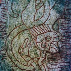
Uvered 1:1, stenkrets i Västergötland
Location: Lidköping Municipality
GPS coordinates: 58.35601,13.02004
Latest update: April 11, 2025 09:49
Sparlösa Runestone
10.6 km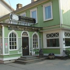
Conditori Nordpolen
10.7 km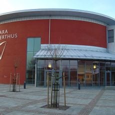
Vara Concert Hall
10.5 km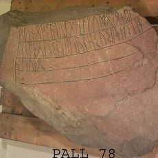
Noleby Runestone
8.5 km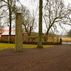
Levenestenen
7.5 km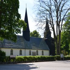
Levene Church
7.5 km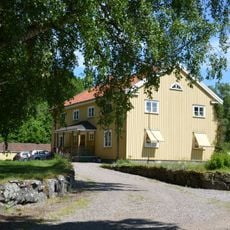
Levene gård
7.3 km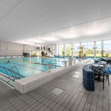
Vara Badhus
10.6 km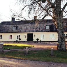
Slädene storegård
7.9 km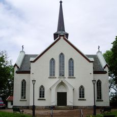
Fyrunga Church
9.1 km
Longs kyrka
7.3 km
Önums kyrka
10.4 km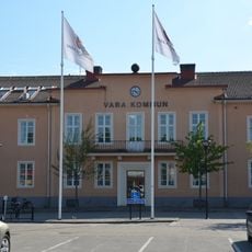
Vara köping
11 km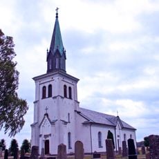
Skarstad Church
6.8 km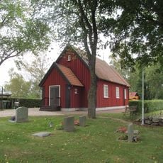
Slädene church
8.2 km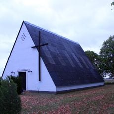
Hällums kyrka
3 km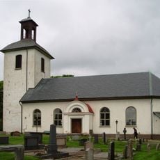
Jungs kyrka
6.5 km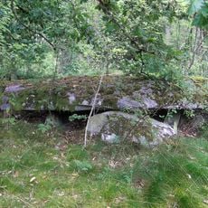
Steinkiste von Levene
8.7 km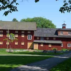
Bengtssonska magasinet
11.1 km
Åse, Viste, Barne and Laske judgments
11 km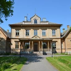
Åse, Viste, Barne and Laske domsaga
11 km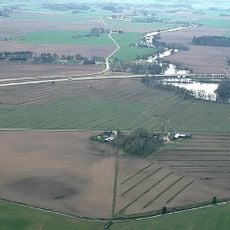
Löjtnantsholm
7.1 km
Vara Utomhusbad
10.7 km
Uvered 3:1
2.6 km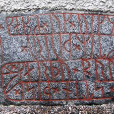
Vg 30 Järpås kyrka
3.4 km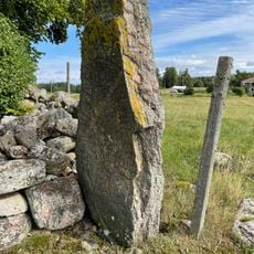
Slädene 6:1
8.2 km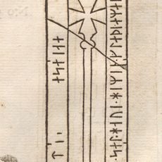
Västergötlands runinskrifter 121
10.6 km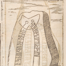
Västergötlands runinskrifter 49
1.5 kmReviews
Visited this place? Tap the stars to rate it and share your experience / photos with the community! Try now! You can cancel it anytime.
Discover hidden gems everywhere you go!
From secret cafés to breathtaking viewpoints, skip the crowded tourist spots and find places that match your style. Our app makes it easy with voice search, smart filtering, route optimization, and insider tips from travelers worldwide. Download now for the complete mobile experience.

A unique approach to discovering new places❞
— Le Figaro
All the places worth exploring❞
— France Info
A tailor-made excursion in just a few clicks❞
— 20 Minutes