
Ölme 19:2, röse i Värmland
Location: Kristinehamn Municipality
GPS coordinates: 59.44044,14.02981
Latest update: May 27, 2025 16:08
Karlstad Municipality
15.5 km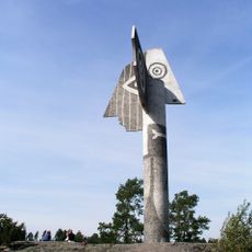
Picasso sculpture i Kristinehamn
18.7 km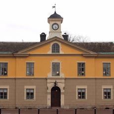
Kristinehamn Municipality
16.7 km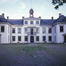
Gustavsvik Manor
10.7 km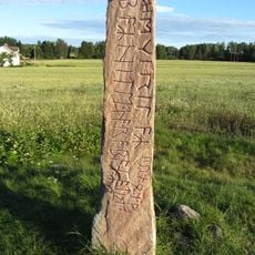
Järsberg Runestone
18.3 km
Brattforshedens krigsflygfält
19.8 km
Saxholmen Castle
14.4 km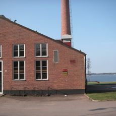
Kristinehamns konstmuseum
13 km
Alkvettern Manor
21.6 km
Visnum hundred
15.3 km
Lungsunds kyrka
13 km
Ölme Church
9.9 km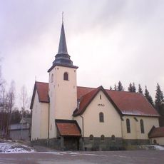
Lundsberg Church
9.9 km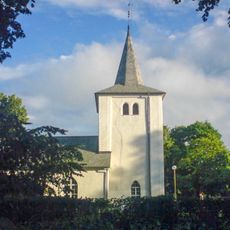
Östra Fågelvik Church
17 km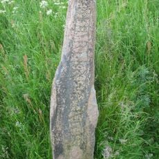
Väsestenen
12.6 km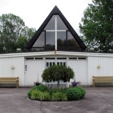
Lunedskyrkan
22.6 km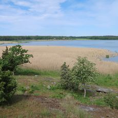
Kummelön
13.3 km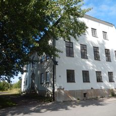
Nordenfeldtska gården
15 km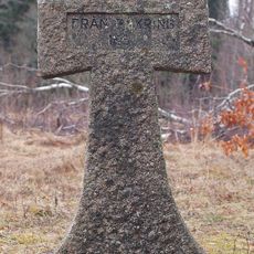
Gustafsviks kyrkogård
10.4 km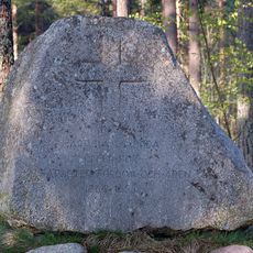
Kolerakyrkogården
16.5 km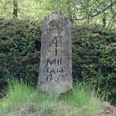
Kristinehamn 1:2
9.6 km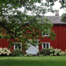
Ve kronofogdegård
11.7 km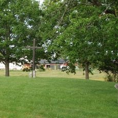
Östra Fågelvik 8:1
17.6 km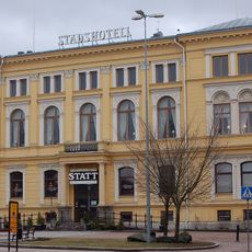
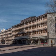
Kristinehamns stadshotell
15.2 km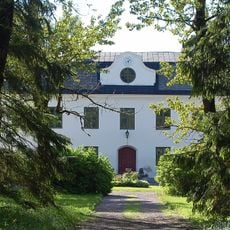
Hammars säteri
14.1 km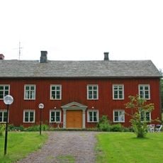
Väse prästgård
10.8 km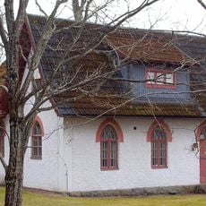
Gustafsviks mejeri och Österviks kapell
10.2 km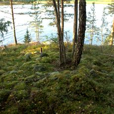
Alster 24:1
19.2 kmReviews
Visited this place? Tap the stars to rate it and share your experience / photos with the community! Try now! You can cancel it anytime.
Discover hidden gems everywhere you go!
From secret cafés to breathtaking viewpoints, skip the crowded tourist spots and find places that match your style. Our app makes it easy with voice search, smart filtering, route optimization, and insider tips from travelers worldwide. Download now for the complete mobile experience.

A unique approach to discovering new places❞
— Le Figaro
All the places worth exploring❞
— France Info
A tailor-made excursion in just a few clicks❞
— 20 Minutes