
Brännkyrka 241:2, stone setting in Stockholm Municipality, Stockholm County, Sweden
Location: Stockholm Municipality
GPS coordinates: 59.23619,18.18276
Latest update: March 2, 2025 23:00
Skogås
2.6 km
Trångsund
3.1 km
Flatenbadet
2.3 km
Gebers konvalescenthem
2.8 km
Måndalsfortet
3.2 km
Trångsunds herrgård
1.1 km
Tyresö View
2.8 km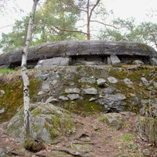
Lännafortet
3.2 km
Skarpnäcksgrottan
3.2 km
Kumla gård, Tyresö
2.2 km
Sjötorpsfortet
3.1 km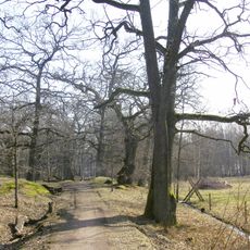
Flaten
2 km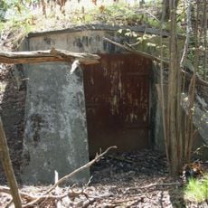
Magelungsfortet
3.3 km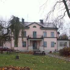
Orhems gård
3.1 km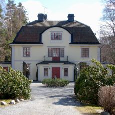
Mörtviks gård
1.9 km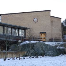
Bollmoradalens kyrka
2.8 km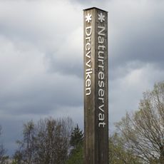
Drevviken
3 km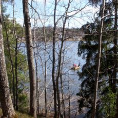
Trångsundsskogen
1.4 km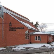
Trollbäckens kyrka
2 km
Älta Church
2.3 km
Älta mosse-Strålsjön
3.4 km
Strålsjön-Erstavik nature reserve
3.7 km
Föreningen Kulturella folkdansgillet
3.5 km
Lilla Hammartorp
3 km
Sjöängsbadet, public beach
1.5 km
Lilla Hammartorp
3 km
Nacka 14:1
2.5 km
Strålsjöbadet, public beach
3.6 kmReviews
Visited this place? Tap the stars to rate it and share your experience / photos with the community! Try now! You can cancel it anytime.
Discover hidden gems everywhere you go!
From secret cafés to breathtaking viewpoints, skip the crowded tourist spots and find places that match your style. Our app makes it easy with voice search, smart filtering, route optimization, and insider tips from travelers worldwide. Download now for the complete mobile experience.

A unique approach to discovering new places❞
— Le Figaro
All the places worth exploring❞
— France Info
A tailor-made excursion in just a few clicks❞
— 20 Minutes