
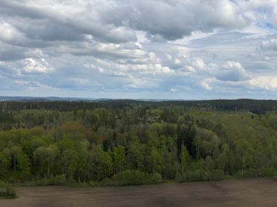
Borgarmon, nature reserve in Östergötland, Sweden
Location: Kinda Municipality
Inception: February 3, 2007
GPS coordinates: 58.14702,15.64316
Latest update: March 6, 2025 06:59
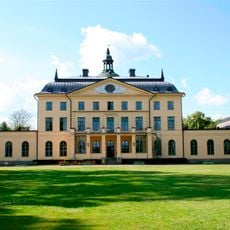
Bjärka-Säby Castle
14.9 km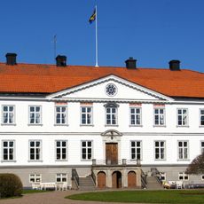
Brokind Castle
7.2 km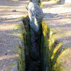
Trollegater
4.1 km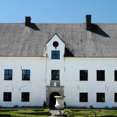
Bjärka-Säby gamla slott
14.6 km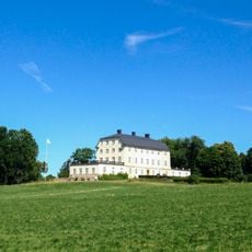
Skedevid
4.3 km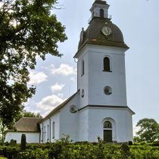
Tjärstad Church
5.5 km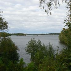
Stora Rängen
14 km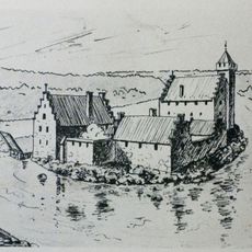
Bjärkaholm
16.5 km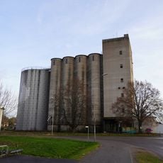
Rimforsa silo
2.5 km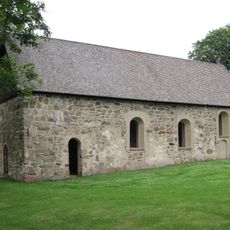
Hägerstads gamla kyrka
9.8 km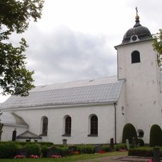
Västra Eneby Church
15.7 km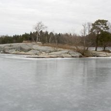
Fläsklösen
2.1 km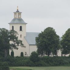
Kättilstad Church
9.3 km
Hägerstad Church
10.4 km
Bjärka-Säby railway station
15.3 km
Hallstad ängar
570 m
Viggeby
4.9 km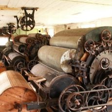
Kölefors vaddfabrik
12.4 km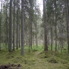
Ycke
14.1 km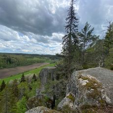
Klevberget
538 m
Ulrika Museum
12.8 km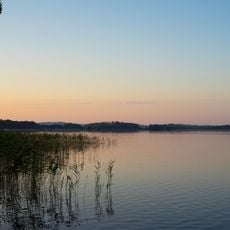
Hackelboön
2.5 km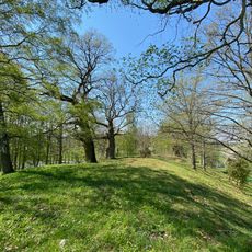
Tempelkullen
4.4 km
Säby Västerskog
13.6 km
Västerby lövskogar
11.2 km
Brokinds lövskog
6.5 km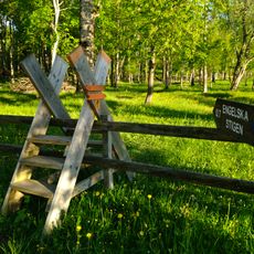
Stafsäters lövskog
16.4 km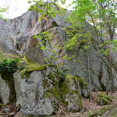
Borgarmon
62 mReviews
Visited this place? Tap the stars to rate it and share your experience / photos with the community! Try now! You can cancel it anytime.
Discover hidden gems everywhere you go!
From secret cafés to breathtaking viewpoints, skip the crowded tourist spots and find places that match your style. Our app makes it easy with voice search, smart filtering, route optimization, and insider tips from travelers worldwide. Download now for the complete mobile experience.

A unique approach to discovering new places❞
— Le Figaro
All the places worth exploring❞
— France Info
A tailor-made excursion in just a few clicks❞
— 20 Minutes