
Vivattnet, محمية طبيعية في السويد
Location: Storuman Municipality
Location: Vilhelmina Municipality
Inception: March 19, 2018
GPS coordinates: 65.13831,16.42349
Latest update: July 29, 2025 02:12
Storuman Municipality
29.1 km
Vilhelmina Municipality
39.4 km
Sorsele Municipality
69.7 km
Hotell Borgafjäll
71 km
Marsfjället
36.5 km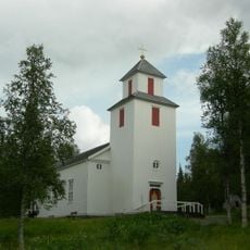
Fatmomakke Church
60.2 km
Storjuktan
42.7 km
Storvindeln
73 km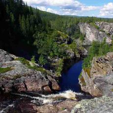
Brudslöjan
78.1 km
Sorsele Church
67.7 km
Blaikfjället
61.6 km
Bäsksele
60.3 km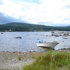
Fjosoken
50.7 km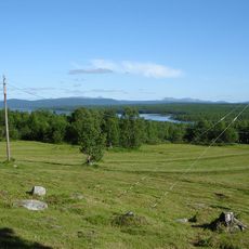
Virisen
66.5 km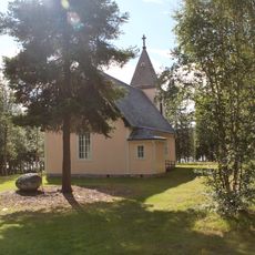
Voijtjajaure kapell
67.3 km
Gimegolts
78.8 km
Umnäs church
37.1 km
Latikberg Church
63.1 km
Vilhelmina tingslag
58.1 km
Dikanäs kyrkobokföringsdistrikt
22.7 km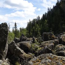
Kyrkberget
22.6 km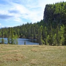
Kalvtjärnarna
69.9 km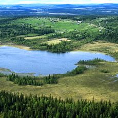
Risträskskogen
64.1 km
Borgahällen
78.4 km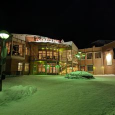
Folkets Hus
58.1 km
Skollägdan 11
57.7 km
Zakrisbo
58.4 km
Inlandsbanemuseet
68.2 kmReviews
Visited this place? Tap the stars to rate it and share your experience / photos with the community! Try now! You can cancel it anytime.
Discover hidden gems everywhere you go!
From secret cafés to breathtaking viewpoints, skip the crowded tourist spots and find places that match your style. Our app makes it easy with voice search, smart filtering, route optimization, and insider tips from travelers worldwide. Download now for the complete mobile experience.

A unique approach to discovering new places❞
— Le Figaro
All the places worth exploring❞
— France Info
A tailor-made excursion in just a few clicks❞
— 20 Minutes