
En äldre lind, naturminne i Arboga kommun
Location: Arboga Municipality
Inception: April 10, 1956
GPS coordinates: 59.37941,15.92216
Latest update: April 12, 2025 04:13
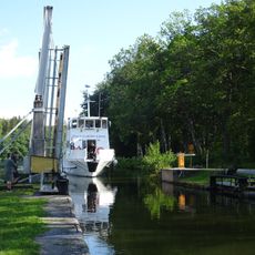
Hjälmare kanal
1.2 km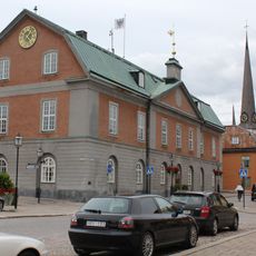
Arboga Municipality
5.1 km
Kungsör Municipality
11.7 km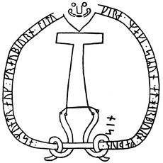
Södermanland Runic Inscription 86
14.6 km
Villa Prenker
10.4 km
Köping–Uttersberg–Riddarhyttan Railway
14.8 km
Jäders bruk
8.5 km
Sickelsjö Manor
8.3 km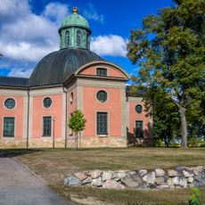
Kung Karls kyrka
11.2 km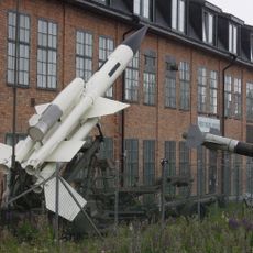
Arboga robotmuseum
4.3 km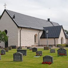
Västermo
13.2 km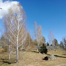
Halvardsborg
8.3 km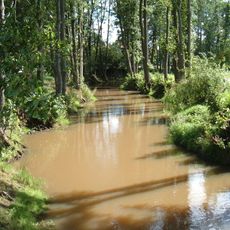
Köping River
14 km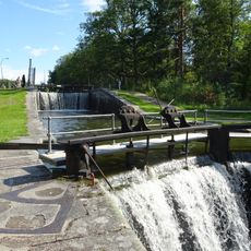
Hällby slussar
1.2 km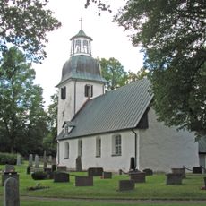
Säterbo Church
42 m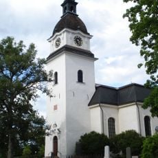
Götlunda Church
14.7 km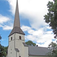
Medåkers kyrka
12.5 km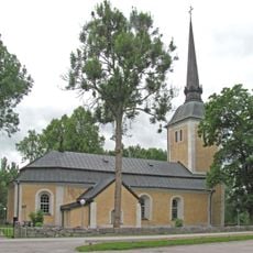
Himmeta Church
12.9 km
Björskog Church
7.8 km
Kungsörs köping
11.5 km
Arboga Museum
5.1 km
Jägaråsen
11.5 km
Södermanlands runinskrifter 336
11.2 km
Säbybergen
2.8 km
Kungsgården 3 och 5
4.9 km
Skoftesta skans
14.7 km
Linbanemuseet
13.4 km
Crugska gården
4.7 kmReviews
Visited this place? Tap the stars to rate it and share your experience / photos with the community! Try now! You can cancel it anytime.
Discover hidden gems everywhere you go!
From secret cafés to breathtaking viewpoints, skip the crowded tourist spots and find places that match your style. Our app makes it easy with voice search, smart filtering, route optimization, and insider tips from travelers worldwide. Download now for the complete mobile experience.

A unique approach to discovering new places❞
— Le Figaro
All the places worth exploring❞
— France Info
A tailor-made excursion in just a few clicks❞
— 20 Minutes