
Hagmark med en ek, Romelia 1:3, naturminne i Kristianstads kommun
Location: Kristianstad Municipality
Inception: March 3, 1955
GPS coordinates: 56.20167,14.30643
Latest update: April 26, 2025 20:13
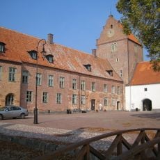
Bäckaskog Castle
13.2 km
Östra Göinge Municipality
12.8 km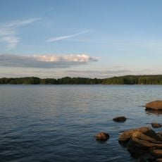
Lake Immeln
7.1 km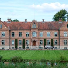
Hanaskog Castle
13.2 km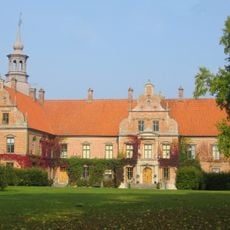
Karsholm Castle
9.5 km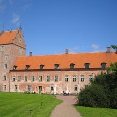
Bäckaskogs kloster
13.2 km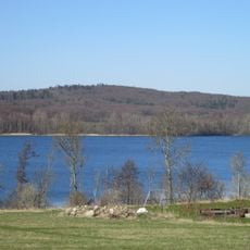
Balsberget
12.5 km
Råbelövssjön
11.9 km
Ivö klack
9.8 km
Sporrakulla gård
10.4 km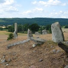
Gudahagen
11.9 km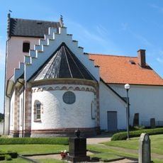
Hjärsås Church
9.7 km
Västanå
11.6 km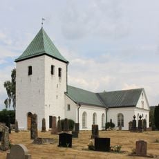
Vånga Church
4.8 km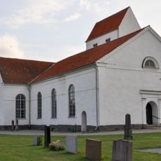
Fjälkestad Church
13.5 km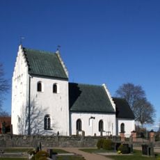
Emmislöv Church
12.5 km
Österäng Church
11.9 km
Ivö klack
9.9 km
Spring of Saint Ursula
12.7 km
Sibbhult Church
9.4 km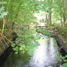
Östafors bruk
13 km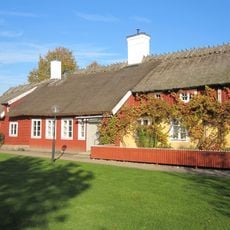
Österslöv gamla prästgård
11.9 km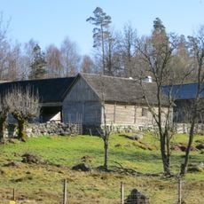
Sporrakulla
10.3 km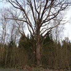
En ek, Högsma 1:6
12.6 km
Alltidhults skola
11.4 km
Snapphanekullen
13.2 km
Alltidhult Schule
11.4 km
Västanå kvarn
11.6 kmReviews
Visited this place? Tap the stars to rate it and share your experience / photos with the community! Try now! You can cancel it anytime.
Discover hidden gems everywhere you go!
From secret cafés to breathtaking viewpoints, skip the crowded tourist spots and find places that match your style. Our app makes it easy with voice search, smart filtering, route optimization, and insider tips from travelers worldwide. Download now for the complete mobile experience.

A unique approach to discovering new places❞
— Le Figaro
All the places worth exploring❞
— France Info
A tailor-made excursion in just a few clicks❞
— 20 Minutes