
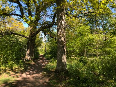
Djurängshagarna, naturområde i Kalmar
Location: Kalmar Municipality
GPS coordinates: 56.68720,16.33110
Latest update: March 25, 2025 21:54
Kalmar Municipality
2.3 km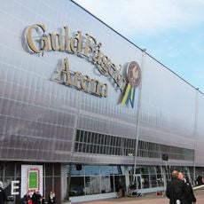
Guldfågeln Arena
1 km
Fredriksskans
2.8 km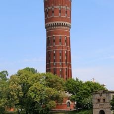
Kalmar gamla vattentorn
3.2 km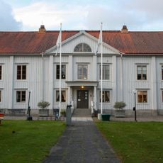
Skälby yard
628 m
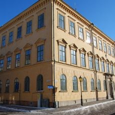
Villa Solbacken, Kalmar
2.2 km
Tripp, trapp, trull
3.1 km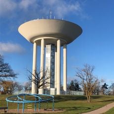
Kalmar water tower
1 km
Sankt Birgitta Church
848 m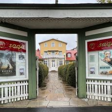
Saga
3 km
Svinö
3 km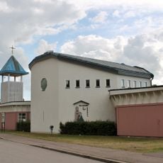
Två systrars kapell, Kalmar
2.5 km
Sankt John's Church
2.6 km
Kalmar stadsbibliotek
3 km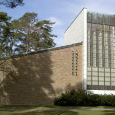
Holy Cross Church
1.5 km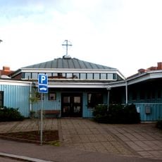
Vasa Church
3 km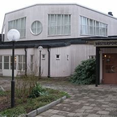
Västerportkyrkan
3.1 km
Gräberfeld von Brukshagen
737 m
Posthuset, Kalmar
2.9 km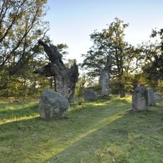
Kalmar 10:2
1 km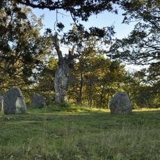
Kalmar 10:3
1.1 km
Posthuset, Kalmar
2.9 km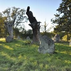
Kalmar 10:4
1.1 km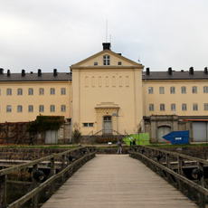
Ravelinen Prins Carl
3.1 km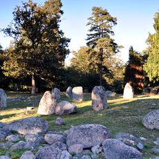
Brukshagen
892 m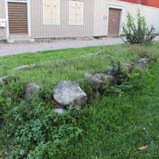
Kalmar 77:1
3.1 km
Kalmar 88:1
3.2 km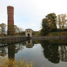
Högvakten
3.1 kmReviews
Visited this place? Tap the stars to rate it and share your experience / photos with the community! Try now! You can cancel it anytime.
Discover hidden gems everywhere you go!
From secret cafés to breathtaking viewpoints, skip the crowded tourist spots and find places that match your style. Our app makes it easy with voice search, smart filtering, route optimization, and insider tips from travelers worldwide. Download now for the complete mobile experience.

A unique approach to discovering new places❞
— Le Figaro
All the places worth exploring❞
— France Info
A tailor-made excursion in just a few clicks❞
— 20 Minutes