
Grythem övre, منارة في السويد
Location: Örebro Municipality
Inception: 1996
GPS coordinates: 59.32183,15.59867
Latest update: May 5, 2025 14:48

Örebro Municipality
22.5 km
Göksholm
6.6 km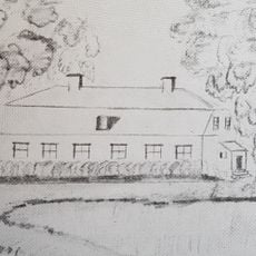
Ekeberg
6.9 km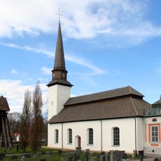
Glanshammar Church
11.2 km
Jäders bruk
14.2 km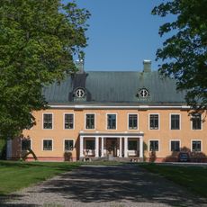
Sickelsjö Manor
12.4 km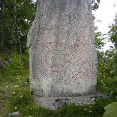
Nasta Runestone
14 km
Götarsvik
1.5 km
Närkes runinskrifter 29
11.9 km
Kägleholm
13.9 km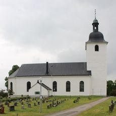
Stora Mellösa church
13.3 km
Halvardsborg
11.8 km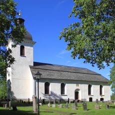
Lillkyrka Church
6.9 km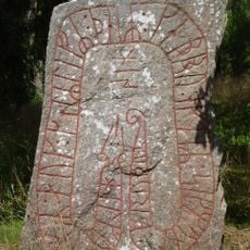
Närkes runinskrifter 31
5 km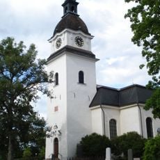
Götlunda Church
5.4 km
Närkes runinskrifter 15
13.1 km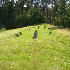
Glanshammars gravfält
11 km
Tåsta
10.4 km
Skitåsen (Käglanbeståndet)
8.2 km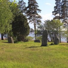
Skävesunds gravfält
10.9 km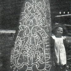
Närkes runinskrifter 32
6.8 km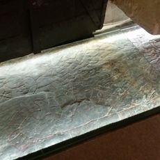
Närkes runinskrifter 23
11.2 km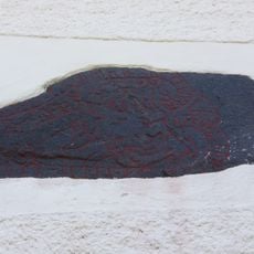
Närkes runinskrifter 26
11.2 km
Närkes runinskrifter 12
13.4 km
Kapellet
10.8 km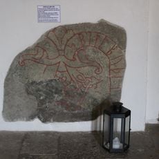
Närkes runinskrifter 13
13.4 km
Närkes runinskrifter 22
11.2 km
Närkes runinskrifter 24
11.2 kmReviews
Visited this place? Tap the stars to rate it and share your experience / photos with the community! Try now! You can cancel it anytime.
Discover hidden gems everywhere you go!
From secret cafés to breathtaking viewpoints, skip the crowded tourist spots and find places that match your style. Our app makes it easy with voice search, smart filtering, route optimization, and insider tips from travelers worldwide. Download now for the complete mobile experience.

A unique approach to discovering new places❞
— Le Figaro
All the places worth exploring❞
— France Info
A tailor-made excursion in just a few clicks❞
— 20 Minutes