
Åstols Fiskehamn nedre, منارة في السويد
Location: Tjörn Municipality
Inception: 1957
GPS coordinates: 57.92417,11.58642
Latest update: March 6, 2025 18:15
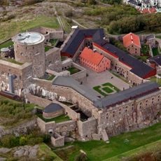
Carlsten Fortress
4.3 km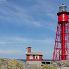
Pater Noster lighthouse
7.8 km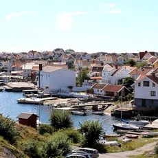
Klädesholmen
3.6 km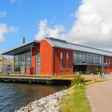
Musée nordique de l'aquarelle
7.6 km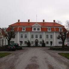
Tofta herrgård
9.8 km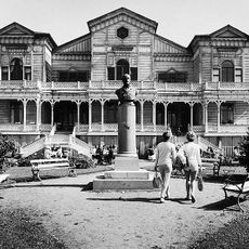
Societetshuset, Marstrand
4.1 km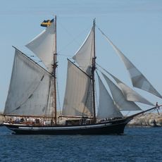
M/S Atene
7.7 km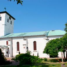
Marstrand Church
4.2 km
Marstrands rådhus
4.1 km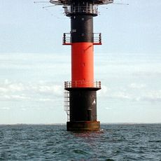
Hätteberget lighthouse
10.1 km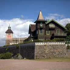
Norra Strandverket on Marstrand
3.9 km
Ture Bonanders hus
4.3 km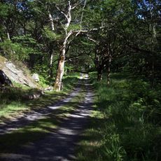
Rosenlund
3.9 km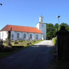
Stenkyrka Church
10 km
Älgön
5.9 km
Klädesholmens kyrka
3.7 km
Skärhamns sjöfartsmuseum
7.7 km
Marstrands naturreservat
4.5 km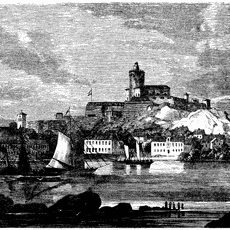
Carlsten Fortress lighthouse
4.3 km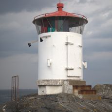
Åstol lighthouse
356 m
Stenkyrka 197:1
10.7 km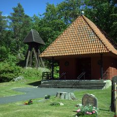
Marstrands gravkapell
3.9 km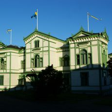
Marstrands societetshus
4 km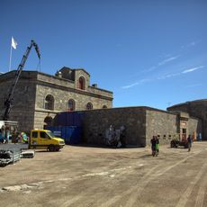
Södra strandverket, Marstrand
4.6 km
Linnevikens, public beach
10.7 km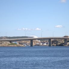
Klädesholmens bro
3.3 km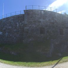
N.a Strandverket
3.9 km
Klädesholmens museum "Sillebua"
3.4 kmReviews
Visited this place? Tap the stars to rate it and share your experience / photos with the community! Try now! You can cancel it anytime.
Discover hidden gems everywhere you go!
From secret cafés to breathtaking viewpoints, skip the crowded tourist spots and find places that match your style. Our app makes it easy with voice search, smart filtering, route optimization, and insider tips from travelers worldwide. Download now for the complete mobile experience.

A unique approach to discovering new places❞
— Le Figaro
All the places worth exploring❞
— France Info
A tailor-made excursion in just a few clicks❞
— 20 Minutes