
Esterön övre, منارة في السويد
Location: Norrköping Municipality
Inception: 1978
GPS coordinates: 58.64558,16.32889
Latest update: October 9, 2025 07:41
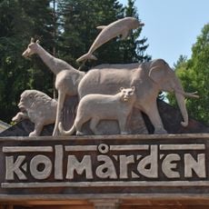
Kolmården Wildlife Park
8.3 km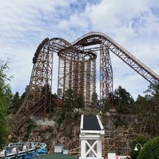
Wildfire
8.3 km
Kolmarden Tropicarium
8.3 km
Villa Fridhem, Kolmården
4.9 km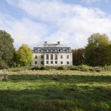
Krusenhof
6.1 km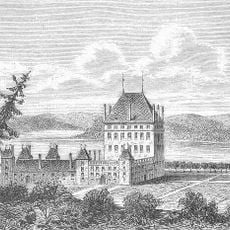
Bråborg Castle
3.4 km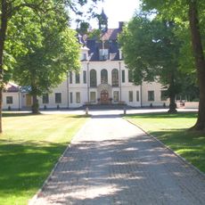
Björnsnäs
6.8 km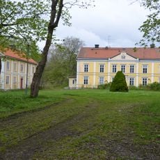
Händelö gård
6.8 km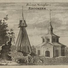
Krokeks konvent
7.4 km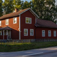
Strömsfors
4.2 km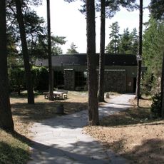
Kolmården Church
7.6 km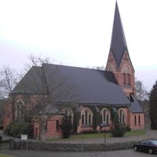
Krokek Church
4.1 km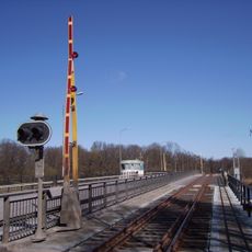
Händelö Bridge
8.1 km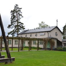
Lindö Chapel
5.9 km
Marmorbruket
6.2 km
Svensksundsviken
5.9 km
Djurön
2.5 km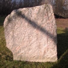
Östergötlands runinskrifter 18
7.3 km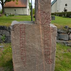
Östergötlands runinskrifter 146
7.1 km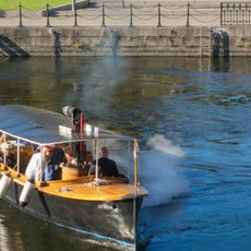
S/S Moa
8.2 km
Händelö
7.4 km
Östergötlands runinskrifter 45
7.1 km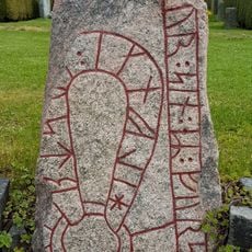
Östergötlands runinskrifter 145
7.1 km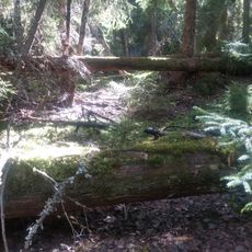
Erikslund
8.1 km
Krokeks ödekyrka
7.4 km
Kvillinge 12:1
8.5 km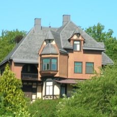
Skoga
7.1 km
Luststället Abborreberg
5.2 kmReviews
Visited this place? Tap the stars to rate it and share your experience / photos with the community! Try now! You can cancel it anytime.
Discover hidden gems everywhere you go!
From secret cafés to breathtaking viewpoints, skip the crowded tourist spots and find places that match your style. Our app makes it easy with voice search, smart filtering, route optimization, and insider tips from travelers worldwide. Download now for the complete mobile experience.

A unique approach to discovering new places❞
— Le Figaro
All the places worth exploring❞
— France Info
A tailor-made excursion in just a few clicks❞
— 20 Minutes