
Vannslätten, hembygdsgård i Ronneby kommun
Location: Ronneby Municipality
GPS coordinates: 56.39639,15.10056
Latest update: March 23, 2025 19:32
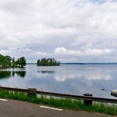
Mien
15.3 km
Gemeinde Ronneby
15.6 km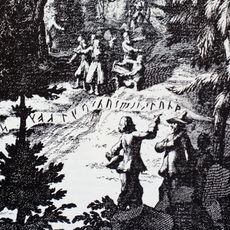
Runamo
21.2 km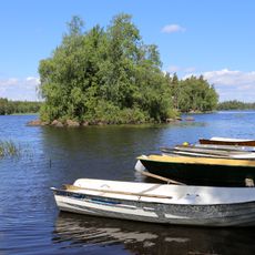
Tiken
14 km
Bräkne-Hoby Church
19.1 km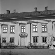
Djupadals House
21.2 km
Galtsjön
20.9 km
Bredåkra Church
18.3 km
Bräkneån
13.2 km
Backaryds kyrka
6.5 km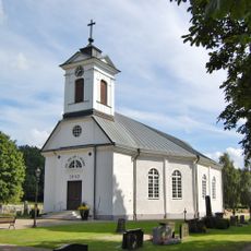
Öljehult Church
4.5 km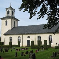
Södra Sandsjö Church
13.5 km
Möljeryds kyrka
14.3 km
Ekholms fotoateljé
20.2 km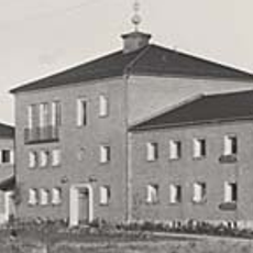
Kallinge kommunalhus
20.8 km
Halahult
12.7 km
Långasjönäs
21.8 km
Ire
14.4 km
Söderportkyrkan, Tingsryd
15.9 km
Danmarks runeindskrifter 361
12.7 km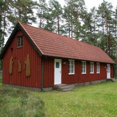
Timmermannens kapell
11.2 km
Hakarpsgården
21.6 km
Sänneshult
18 km
Persgärde
16.9 km
Gröngölsmåla
17.3 km
Edestad 2:1
21.9 km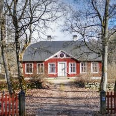
Hembygdsgården Oséenska Gården
13 km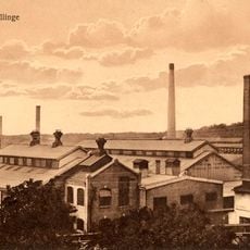
Gjuteri- och emaljmuseet i Kallinge
20.4 kmReviews
Visited this place? Tap the stars to rate it and share your experience / photos with the community! Try now! You can cancel it anytime.
Discover hidden gems everywhere you go!
From secret cafés to breathtaking viewpoints, skip the crowded tourist spots and find places that match your style. Our app makes it easy with voice search, smart filtering, route optimization, and insider tips from travelers worldwide. Download now for the complete mobile experience.

A unique approach to discovering new places❞
— Le Figaro
All the places worth exploring❞
— France Info
A tailor-made excursion in just a few clicks❞
— 20 Minutes