Geography of Singapore, Maritime island nation in Southeast Asia.
The geography of Singapore includes a diamond-shaped main island and 63 smaller islands between Malaysia and Indonesia at the southern end of the Malay Peninsula. The coastline runs roughly 193 kilometers (120 miles), connecting southern waters with numerous inland waterways.
The territory was founded as a trading post in the 14th century and grew into a major port hub under British administration in the 19th century. After independence in 1965, large-scale land reclamation projects began reshaping the island group and continue to this day.
The name derives from the Sanskrit word
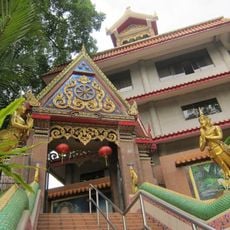
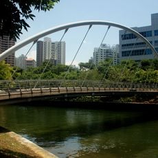
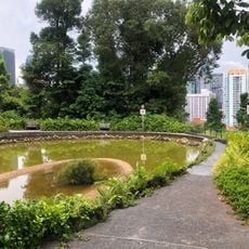
Visitors notice the tropical climate with rain throughout the year and temperatures rarely dropping below 73 degrees Fahrenheit (23 degrees Celsius). Most green spaces and reservoirs are accessible via public paths and parks suitable for walking and exploring.
The island group sits just 137 kilometers (85 miles) north of the equator, keeping daylight hours nearly constant throughout the year. Several smaller islands serve as nature reserves and are accessible only with special permission for educational purposes.
The community of curious travelers
AroundUs brings together thousands of curated places, local tips, and hidden gems, enriched daily by 60,000 contributors worldwide.