Mae Charim, district in Nan province, Thailand
Location: Nan
Elevation above the sea: 649 m
GPS coordinates: 18.70333,101.00500
Latest update: March 8, 2025 11:05
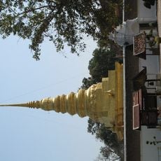
Wat Phra That Chae Haeng
23.3 km
Doi Phu Kha National Park
56.8 km
Nan National Museum
26 km
Si Nan National Park
41.3 km
Wat Phra That Khao Noi
27.8 km
Khun Nan National Park
56.4 km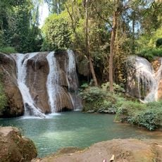
Than Sawan waterfall
88.7 km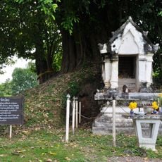
Wat Noi
25.9 km
Lam Nam Nan National Park
86 km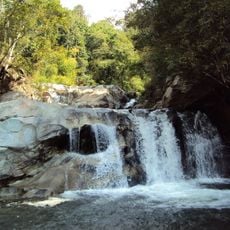
Tat Luang waterfall
38.2 km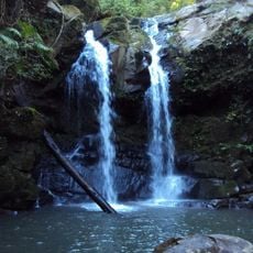
Sapan waterfall
58.2 km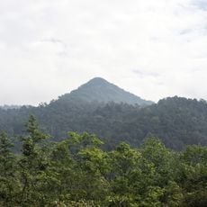
Doi Phu Kha
47.7 km
Nanthaburi National Park
57.7 km
Wat Phaya Wat
26.6 km
Wat Bun Yuen
30.4 km
Wat Suan Tan
26 km
Wat Pra That Beng Sakat
53.7 km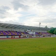
Nan Provincial Administrative Organization Stadium
26.2 km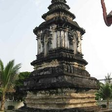
Wat Hua Khuang
26 km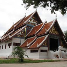
Wat Nong Bua
48.7 km
Tat Man waterfall
68.7 km
Wat Rong Ngae
53.1 km
Wat Tha Fai Tai
83.2 km
Wat Nong Daeng
68.7 km
Wat Santi Karam
43.3 km
Wat Tha Lo
24.7 km
Wat Ton Laeng
55 km
Doi Louangphrabang
69.4 kmReviews
Visited this place? Tap the stars to rate it and share your experience / photos with the community! Try now! You can cancel it anytime.
Discover hidden gems everywhere you go!
From secret cafés to breathtaking viewpoints, skip the crowded tourist spots and find places that match your style. Our app makes it easy with voice search, smart filtering, route optimization, and insider tips from travelers worldwide. Download now for the complete mobile experience.

A unique approach to discovering new places❞
— Le Figaro
All the places worth exploring❞
— France Info
A tailor-made excursion in just a few clicks❞
— 20 Minutes