
Makham, district in Chanthaburi province, Thailand
Location: Chanthaburi
Elevation above the sea: 17 m
Shares border with: Mueang Chanthaburi
GPS coordinates: 12.67361,102.19667
Latest update: April 21, 2025 21:51

Khuk Khi Kai
25.6 km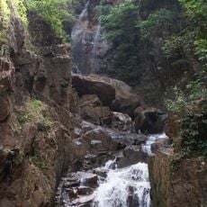
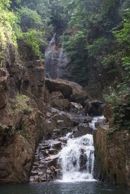
Namtok Phlio National Park
16.7 km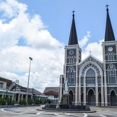
Cathedral of the Immaculate Conception
11.1 km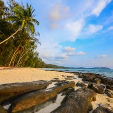
Mu Ko Chang National Park
62.5 km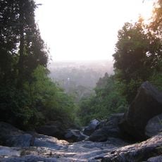
Khao Khitchakut National Park
22.8 km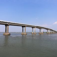
Taksin Maharat Bridge
25.8 km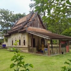
Wat Ratchabanlang Pradittharam
56.6 km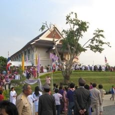
Wat Thep Prathan
53.1 km
Wat Khao Phloi Waen
18.7 km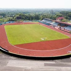
Trat Province Stadium
60.6 km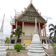
Wat Phailom
11.4 km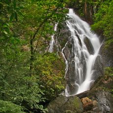
Nam Tok Khlong Kaeo National Park
40.7 km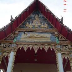
Wat Thong Thua
11.2 km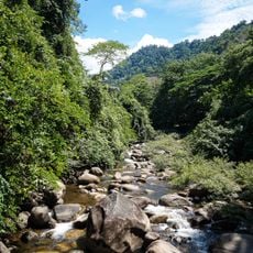
Thung Phen Dam
22 km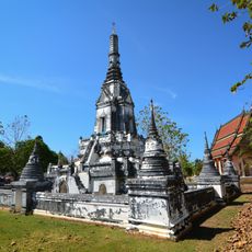
Wat Phlap
18.3 km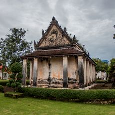
Wat Kwian Hak
23.5 km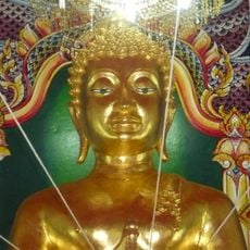
Wat Kong Din
43.2 km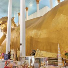
Wat Saphan Lueak
28.7 km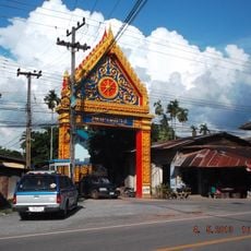
Wat Ban Ang
4.2 km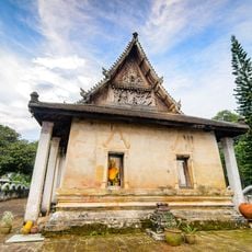
Wat Tapon Noi
21.3 km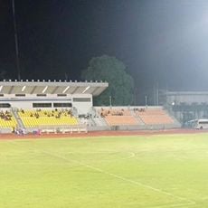
Chanthaburi Province Stadium
12.2 km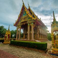
Wat Khao Noi
18.1 km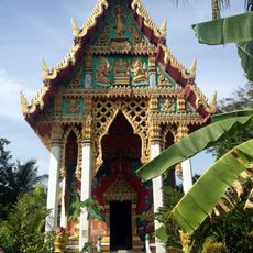
Wat Khlong Phrao
70.5 km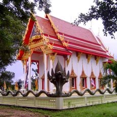
Wat Nong Kankrao
63 km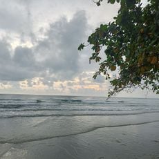
White Sand Beach
63.3 km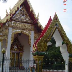
Wat Chak Yai
18.5 km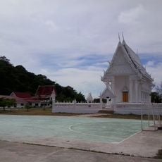
Wat Khao Laem Sing
26.1 km
Klaeng Municipality Stadium
60.1 kmReviews
Visited this place? Tap the stars to rate it and share your experience / photos with the community! Try now! You can cancel it anytime.
Discover hidden gems everywhere you go!
From secret cafés to breathtaking viewpoints, skip the crowded tourist spots and find places that match your style. Our app makes it easy with voice search, smart filtering, route optimization, and insider tips from travelers worldwide. Download now for the complete mobile experience.

A unique approach to discovering new places❞
— Le Figaro
All the places worth exploring❞
— France Info
A tailor-made excursion in just a few clicks❞
— 20 Minutes