Enable Location

We need your location to show you interesting places around you

Discover nearby places

Find interesting locations and hidden gems around you

Precise directions

Get accurate directions and distances to places

Your location is never shared with other users. It's only used when you tap the location button.

Pak Chong

Log in to your account

Start exploring — it's free

Trusted by 61,974 travelers worldwide

Continue with Google
Continue with Apple
or

We will send you a code to connect

By continuing, you accept our Terms and Conditions and our Privacy Policy

Check your inbox

We've sent a pincode in your inbox. Please enter the code below.

Pak Chong

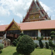
Pak Chong, Administrative district in Nakhon Ratchasima, Thailand.

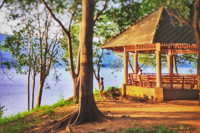
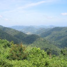
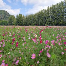
Pak Chong is an administrative district stretching across the Dong Phaya Yen Mountains in Nakhon Ratchasima. The landscape varies between agricultural land and forested terrain, with elevations around 330 meters.

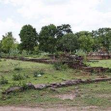
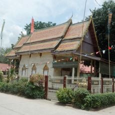
The district grew from a small village surrounded by dense forests into an established administrative area. Construction of the Northeastern Railway in 1898 transformed the region by opening mountain passages and linking it to broader networks.

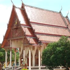
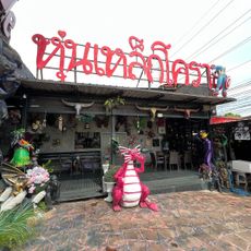
Local markets display regional food specialties shaped by Thai, Isaan, and Khmer cooking traditions. Dairy farming is deeply rooted in daily life here, with products available throughout the district.

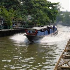
The Mittraphap Road connects Bangkok with the Isan region and serves as the main route through this area. Multiple railway stations along the Northeastern Line provide another travel option for exploring the district and surrounding regions.

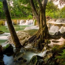
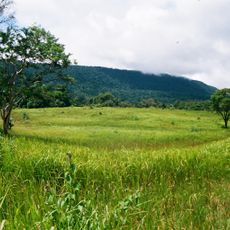
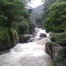
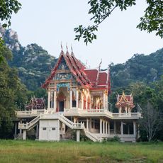
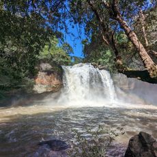
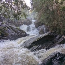
This district leads the country in dairy production while serving as the main gateway to the Isan region. Its southern portion encompasses Khao Yai National Park, a large protected area known for its wildlife.

The community of curious travelers

AroundUs brings together thousands of curated places, local tips, and hidden gems, enriched daily by 60,000 contributors worldwide.

Start exploring
Elevation above the sea
331 m
GPS coordinates
14.71250,101.42194
Latest update
December 19, 2025 23:36
« Pak Chong - Administrative district in Nakhon Ratchasima, Thailand » is provided by Around Us (aroundus.com). Images and texts are derived from Wikimedia project under a Creative Commons license. You are allowed to copy, distribute, and modify copies of this page, under the conditions set by the license, as long as this note is clearly visible.

Discover hidden gems everywhere you go!

From secret cafés to breathtaking viewpoints, skip the crowded tourist spots and find places that match your style. Our app makes it easy with voice search, smart filtering, route optimization, and insider tips from travelers worldwide. Download now for the complete mobile experience.

Around Us App Screenshot

A unique approach to discovering new places

Le Figaro

All the places worth exploring

France Info

A tailor-made excursion in just a few clicks

20 Minutes

Around Us
Travel Guide & Maps
Download

Send to your phone

QR Code
1

Open the camera app on your mobile.

2

Point at the QR code with your camera. A notification will appear.

3

Tap the notification to open the link.