
Mae Daet, subdistrict in Galyani Vadhana district, Chiang Mai province, Thailand
Location: Galyani Vadhana
Inception: November 16, 1995
Shares border with: Ban Chan, Chaem Luang, Mae Na Chon, Bo Kaeo, Yang Moen
GPS coordinates: 18.96440,98.41630
Latest update: March 7, 2025 06:22

Wat Phrathat Doi Suthep
56.1 km
Doi Inthanon
42.5 km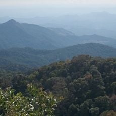
Doi Inthanon National Park
55.2 km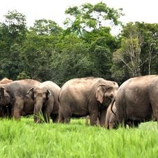
Elephant Nature Park
54.4 km
Doi Suthep
52.8 km
Doi Suthep-Pui National Park
55.4 km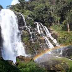
Wachirathan Waterfall
50.8 km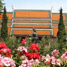
Bhubing Palace
53.7 km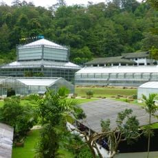
Queen Sirikit Botanic Garden
47.6 km
Wat Phra Puttha Baht Si Roi
36.9 km
Huai Nam Dang National Park
42.2 km
Thai National Observatory
42.3 km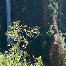
Namtok Mae Surin National Park
44.9 km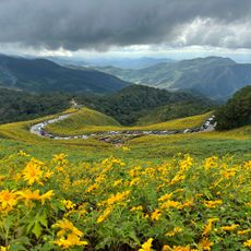
Thung Bua Tong Forest Park
35.2 km
Op Khan National Park
51.8 km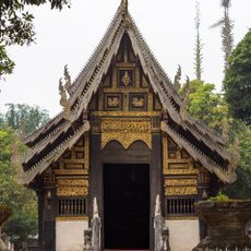
Wat Pa Daet
54.2 km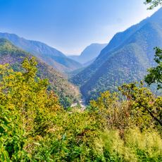
Pha Bong Viewpoint
50.5 km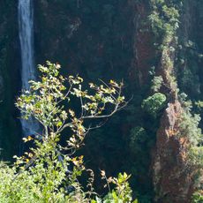
Mae Surin Falls
36.6 km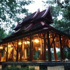
Wat Pa Phut Photchanaram
55.4 km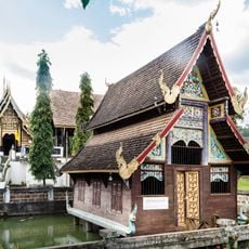
Wat Phut En
50.7 km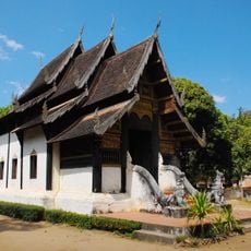
Wat Yang Luang
54.6 km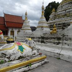
Wat Luang
44.1 km
Wat Ban Chiang
50.9 km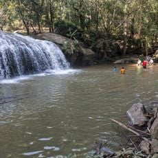
Mae Sa Waterfall (Nam tok Mae Sa)
51 km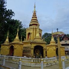
Wat Klang
44.1 km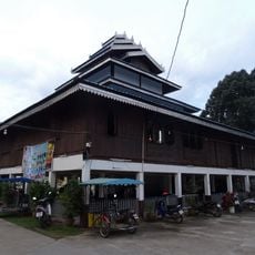
Wat Pa Kham
44 km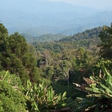
Mae Sa - Huai Khok Ma Biosphere Reserve
50.9 km
Thai National Telescope
42.3 kmReviews
Visited this place? Tap the stars to rate it and share your experience / photos with the community! Try now! You can cancel it anytime.
Discover hidden gems everywhere you go!
From secret cafés to breathtaking viewpoints, skip the crowded tourist spots and find places that match your style. Our app makes it easy with voice search, smart filtering, route optimization, and insider tips from travelers worldwide. Download now for the complete mobile experience.

A unique approach to discovering new places❞
— Le Figaro
All the places worth exploring❞
— France Info
A tailor-made excursion in just a few clicks❞
— 20 Minutes