Liouguei District, Administrative district in Kaohsiung, Taiwan
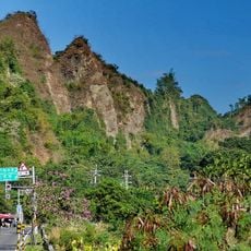
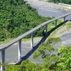
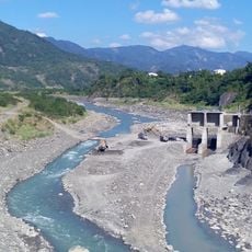
Liouguei District is an administrative area in Kaohsiung that spreads along the Laonong River with mountains and forests dominating the landscape. The terrain is steep and heavily wooded, giving the region a rural character with scattered settlements in valleys and along roads.
The area was originally settled by the Taivoan community before being shaped by waves of migration and population shifts. Over time, different groups established themselves in various parts of this valley region, creating the diverse settlement pattern seen today.
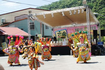
Hakka people, local Taiwanese residents, and indigenous communities coexist in this district, each maintaining distinct traditions that shape daily life in different neighborhoods. Walking through the area, you notice how these groups have created their own gathering spaces and local practices.
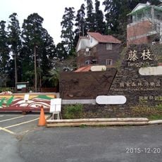
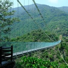
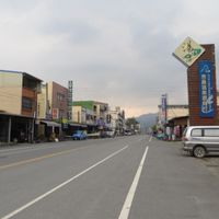
The main road through Laonong connects different parts of the district and serves as the primary access route for visitors. The mountainous terrain can be challenging to navigate, so comfortable walking shoes and a good map or local guidance are helpful when exploring beyond the main road.
The region grows specialized fruits and tea varieties that thrive in its mountain valleys, including mangoes and wax apples with distinctive local names. These crops are well-suited to the steep terrain and cool climate found at higher elevations throughout the district.
The community of curious travelers
AroundUs brings together thousands of curated places, local tips, and hidden gems, enriched daily by 60,000 contributors worldwide.