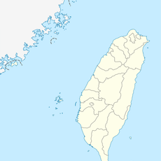
Taimali, rural township of Taiwan
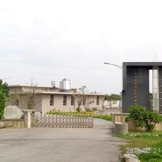
Taimali is a small township on Taiwan's southeastern coast with quiet streets and friendly residents who maintain simple local routines. The town features modest homes with small gardens, little shops, and morning markets where vendors sell fresh vegetables and seafood.
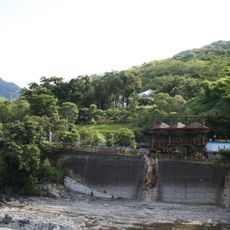
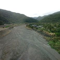
Taimali has a long history as a fishing community where many families have lived by the sea for generations. The township has preserved its traditional way of life, and fishing remains an important part of daily life today.
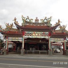
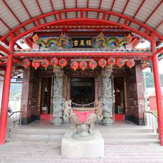
Taimali is a small fishing community where generations of families have maintained their connection to the sea and daily routines. The local temple serves as the heart of the township during festivals, bringing residents together for celebrations that feature traditional music, dance, and shared meals.
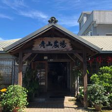
The township has a warm climate that allows outdoor activities most of the year, and visitors can explore the coastline easily. Small eateries run by local families serve seafood and noodle dishes that reflect everyday life in the community.
Life in the township follows a rhythm that begins at sunrise when fishermen start their work and streets are quiet. This daily pattern shows in the busy morning markets and slower midday hours before residents return in the evening from their fishing or work routines.
The community of curious travelers
AroundUs brings together thousands of curated places, local tips, and hidden gems, enriched daily by 60,000 contributors worldwide.