
Dawu, rural township of Taiwan
Location: Taitung County
Elevation above the sea: 223 m
Shares border with: Daren, Taimali
GPS coordinates: 22.36667,120.90000
Latest update: April 18, 2025 21:45
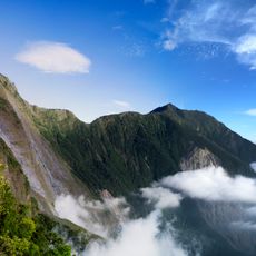
North Dawu Mountain
32.3 km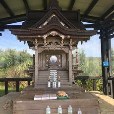
Gaoshi Shrine
27.9 km
Sichongxi Hot Spring
34.1 km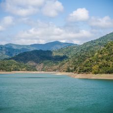
Mudan Shuiku
27.9 km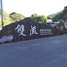
Shuangliu Forest Recreation Area
19.7 km
Toryokyu Temple
31 km
Jhihben National Forest Recreation Area
37.4 km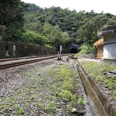
Pu'an Signal Station
11.6 km
Dawuli Fude Temple
32.1 km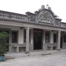
Old House of Siiao Family
36.4 km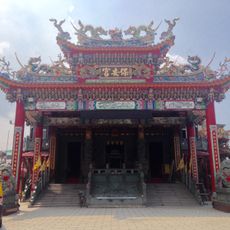
Fangliao Bao'an Temple
31.3 km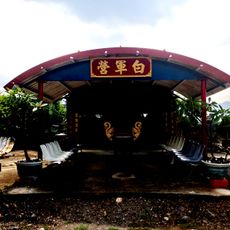
White Camp
30.4 km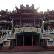
Six Village Three Mountain King Temple
36.5 km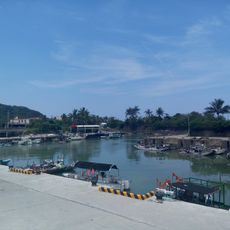
Dawu Fishing Port
3.1 km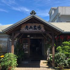
Castle Peak Farm
30.8 km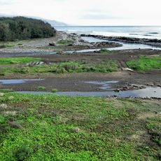
Fenggang River
21.2 km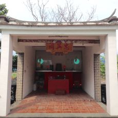
Zhong Ying Shrine
33.9 km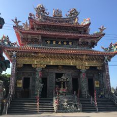
Fangliao Wan Ling Temple
31.9 km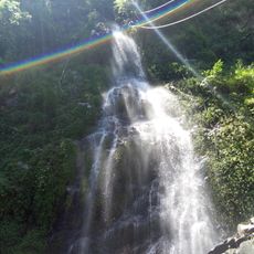
Baiyu Waterfall
37.7 km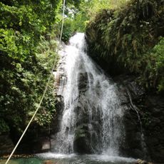
Jinfeng Waterfall
25.4 km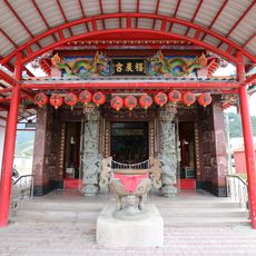
香蘭福農宮
26.4 km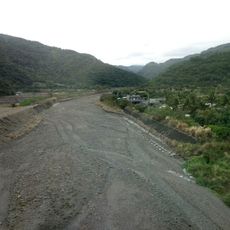
Wuwan River
2.8 km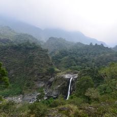
Shalawan Waterfall in Majia
37.5 km
Zhongxinshelun
22.7 km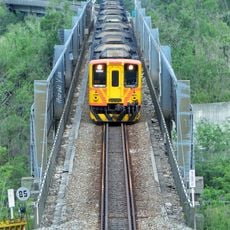
Fangye Second Bridge
20.1 km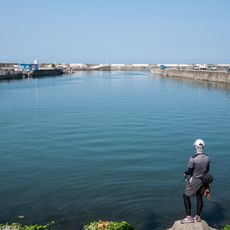
Fangliao Harbor
31.6 km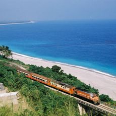
南迴鐵路(知本太麻里間)
35.2 km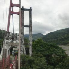
Tjuabar Suspension Bridge
9.4 kmReviews
Visited this place? Tap the stars to rate it and share your experience / photos with the community! Try now! You can cancel it anytime.
Discover hidden gems everywhere you go!
From secret cafés to breathtaking viewpoints, skip the crowded tourist spots and find places that match your style. Our app makes it easy with voice search, smart filtering, route optimization, and insider tips from travelers worldwide. Download now for the complete mobile experience.

A unique approach to discovering new places❞
— Le Figaro
All the places worth exploring❞
— France Info
A tailor-made excursion in just a few clicks❞
— 20 Minutes