Lydney, town in Gloucestershire, UK
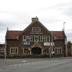
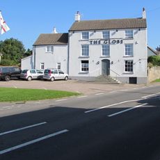
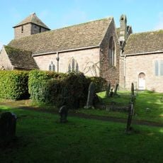
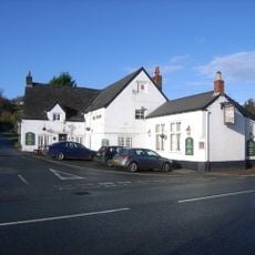
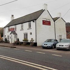
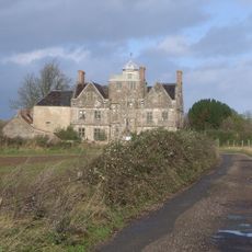
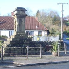
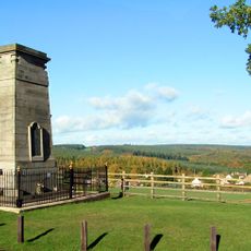
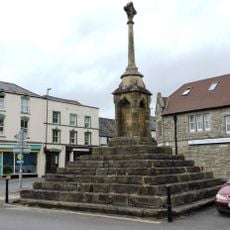
Lydney is a town and civil parish in the Forest of Dean area of Gloucestershire featuring a blend of stone buildings from earlier periods and newer residential areas. Development spreads across gently rolling terrain, with a town center containing shops, services, and facilities for the local community.
The settlement developed over centuries as a rural community in the forest area, shaped by its location within an established inhabited region. Traditional connections to local crafts and forest management practices influenced how it evolved into its present form.
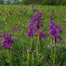
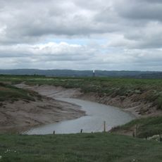
The town reflects the way of life in a forest community, where proximity to nature shapes daily routines. You can see this in how houses sit among trees and how residents use the public spaces.
The town is accessible by car with parking options in and around the center. Walking through the settlement is possible, though some parts are on hillsides which require more physical effort.
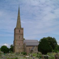
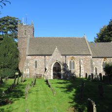
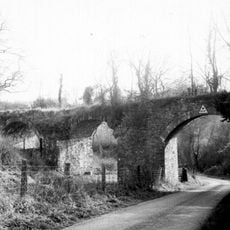
The area was once a point of importance for trade and local crafts, which you can still see in some of the older structures. Visitors may notice details in the buildings that hint at this working past.
The community of curious travelers
AroundUs brings together thousands of curated places, local tips, and hidden gems, enriched daily by 60,000 contributors worldwide.