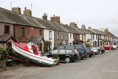
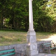
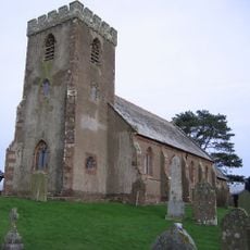
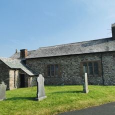
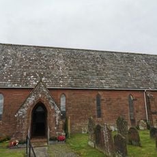
Ravenglass, Coastal village in Lake District National Park, England.
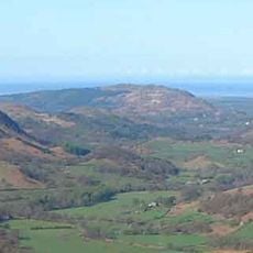
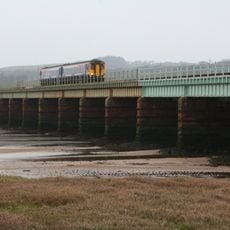
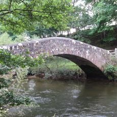
Ravenglass is a coastal village where the Esk, Mite, and Irt rivers meet the sea, forming a natural harbor along the Cumbrian shore. The settlement is defined by its railway connections, with both a main coastal line and a heritage narrow-gauge railway serving the surrounding valleys.
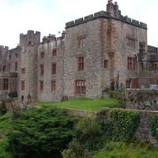
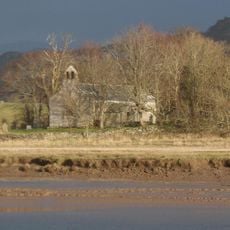
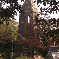
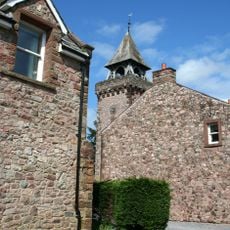
The Romans established a naval base here in the 2nd century with a fort and bathhouse that supplied northwestern Britain. This military presence shaped the site's importance as a harbor for centuries afterward.
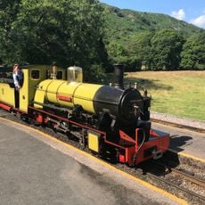
The narrow-gauge railway through Eskdale Valley is locally called "La'al Ratty" and shapes village life with its heritage steam trains that still operate regularly. This transport tradition connects residents and visitors to the surrounding landscape in a way that defines the character of the place.
The railway station connects the village to both the main coastal line and the heritage narrow-gauge railway into the valleys, with regular train services. Visitors should check schedules in advance, as the heritage line operates seasonally with varying frequency.
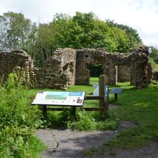
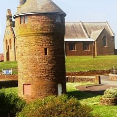
The Roman bathhouse remains at Walls Castle stand as one of the tallest surviving Roman structures in northern England with their distinctive walls still visible. This building offers a rare chance to see Roman military architecture that has survived nearly two thousand years.
Location: Muncaster
GPS coordinates: 54.35400,-3.41100
Latest update: December 7, 2025 19:26
The Lake District covers the hills and valleys of Cumbria where lakes sit among mountains. Windermere, the largest, has boats crossing its waters for many years. Derwentwater, near Keswick, attracts walkers who circle its shores on foot. Ullswater offers a more quiet setting, while Buttermere and...
Muncaster Castle
2 km
Ravenglass and Eskdale Railway
224 m
Ravenglass Roman Bath House
574 m
Muncaster Fell
3.5 km
Irton Cross
4.2 km
St Michael's Church, Muncaster
2 km
St John the Baptist's Church, Waberthwaite
2 km
Muncaster War Memorial And Area Wall
770 m
Church of St Paul
4.2 km
St Bega's Church
6.9 km
Church of St Cuthbert
6.7 km
St John the Baptist, Corney
5.8 km
St Peter's Church
3.2 km
Holmbrook Hall Bridge
3.8 km
Monument North East Of Muncaster Castle
2.9 km
Eskmeals Viaduct
1.9 km
Clock Tower At Irton Hall
4.8 km
Medieval Tower Incorporated Into Irton Hall
4.8 km
Barn West Of Forge House
6.9 km
Seascale War Memorial
6.7 km
Old Water Tower To North Of Seascale Sports Hall
6.6 km
High cross shaft, high cross head and high cross base in St Michael and All Angels churchyard
2 km
Entrance Gateway And Walls To North Of Muncaster Castle
1.4 km
High cross shaft in St John's churchyard
2 km
Drigg Holme packhorse bridge
2.5 km
Main House At Irton Hall
4.7 km
Irton War Memorial, Cumbria
4.3 km
East gateway to St Michael and All Angels churchyard
2.1 kmVisited this place? Tap the stars to rate it and share your experience / photos with the community! Try now! You can cancel it anytime.
Discover hidden gems everywhere you go!
From secret cafés to breathtaking viewpoints, skip the crowded tourist spots and find places that match your style. Our app makes it easy with voice search, smart filtering, route optimization, and insider tips from travelers worldwide. Download now for the complete mobile experience.
A unique approach to discovering new places❞
— Le Figaro
All the places worth exploring❞
— France Info
A tailor-made excursion in just a few clicks❞
— 20 Minutes