Chest opened
+${chestReward.xp} XP
Explorer
NOUVEAU ×${chestReward.collectible.quantity}
tapez pour fermer
Chest locked

Open chests in the app

Around Us is built for your phone — chests unlock when you walk, explore and capture nearby places.

Enable Location

We need your location to show you interesting places around you

Discover nearby places

Find interesting locations and hidden gems around you

Precise directions

Get accurate directions and distances to places

Your location is never shared with other users. It's only used when you tap the location button.

Black Country

Log in to your account

Start exploring — it's free

Trusted by 72,907 travelers worldwide

Continue with Google
Continue with Apple
or

We will send you a code to connect

By continuing, you accept our Terms and Conditions and our Privacy Policy

Check your inbox

We've sent a pincode in your inbox. Please enter the code below.

Black Country
Discussion Reviews 1 Photos
246k Popularity

Black Country, Industrial territory in West Midlands, England.

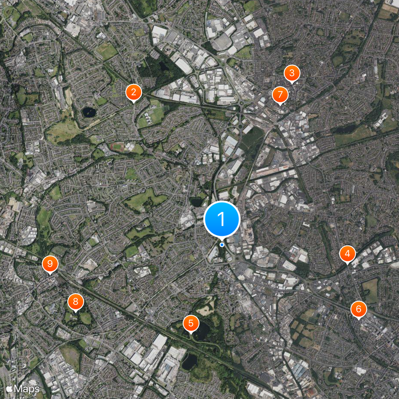
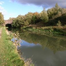
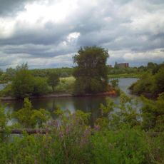
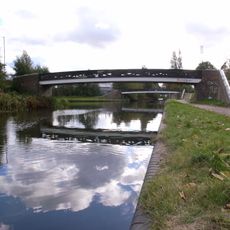
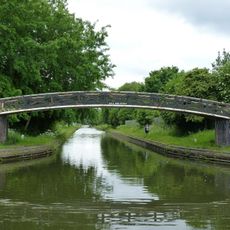
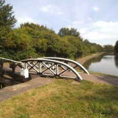
The Black Country encompasses the urban areas of Wolverhampton, Walsall, Dudley and Sandwell, forming a former industrial territory west of Birmingham in the West Midlands. The territory spans roughly 140 square kilometres and is now crisscrossed by a network of canals and regenerated industrial sites.

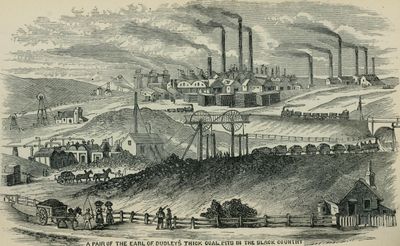
During the Industrial Revolution, this territory gained its name from dense coal mining and heavy industry that covered the landscape with soot. Steelworks, brickworks and foundries dominated the area well into the 20th century before production declined and many plants closed.

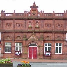
The Black Country Living Museum preserves the region's industrial heritage through reconstructed buildings, demonstrations of traditional crafts, and historical exhibitions.

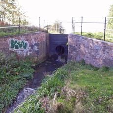
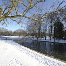
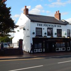
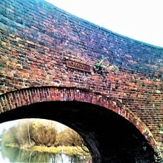
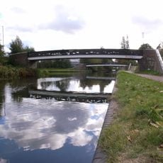
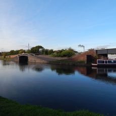
Visitors can explore the territory through a wide canal network, including the Birmingham Canal Navigations that connect former industrial sites. Many stretches are accessible on foot or by bike and offer quiet routes through regenerated waterside areas.

The thirty-foot coal seam, one of the thickest in Britain, supported mining operations for centuries and shaped local community development. This unusually thick seam allowed intensive extraction in a relatively small area and turned the territory into a coal production hub.

The community of curious travelers

AroundUs brings together thousands of curated places, local tips, and hidden gems, enriched daily by 60,000 contributors worldwide.

Start exploring
GPS coordinates
52.53333,-2.03333
Latest update
December 12, 2025 20:04
Around this place
Bradley Branch
United Kingdom

Bradley Branch

2.3 km
Wednesbury Museum and Art Gallery
United Kingdom

Wednesbury Museum and Art Gallery

2.4 km
Ridgacre Branch
United Kingdom

Ridgacre Branch

1.7 km
Sheepwash Urban Park
United Kingdom

Sheepwash Urban Park

1.3 km
Church of St. Andrew, West Bromwich
United Kingdom

Church of St. Andrew, West Bromwich

2.1 km
Wednesbury Town Hall
United Kingdom

Wednesbury Town Hall

2 km
Victoria Park
United Kingdom

Victoria Park

2.2 km
Church of St Martin and St Paul
United Kingdom

Church of St Martin and St Paul

2.3 km
Church of St Peter
United Kingdom

Church of St Peter

1 km
Church of St Bartholomew
United Kingdom

Church of St Bartholomew

2.7 km
Church of St John
United Kingdom

Church of St John

2.1 km
Farley Clock Tower
United Kingdom

Farley Clock Tower

2.2 km
Wednesbury Museum and Art Gallery
United Kingdom

Wednesbury Museum and Art Gallery

2.1 km
St Paul
United Kingdom

St Paul

542 m
St Mark
United Kingdom

St Mark

1.3 km
Former Tipton Library
United Kingdom

Former Tipton Library

2 km
Glebefields Library
United Kingdom

Glebefields Library

1.8 km
Wednesbury Library
United Kingdom

Wednesbury Library

2.5 km
The Fountain Inn Public House
United Kingdom

The Fountain Inn Public House

2.5 km
Hempole Lane Bridge, Eagles Lane Walsall Canal
United Kingdom

Hempole Lane Bridge, Eagles Lane Walsall Canal

135 m
Footbridge To North Of Junction With Tame Valley Canal, East Of Bayleys Lane Walsall Canal
United Kingdom

Footbridge To North Of Junction With Tame Valley Canal, East Of Bayleys Lane Walsall Canal

780 m
Towpath Bridge Over Entrance To Canal Basin (Approximately 150 Metres West Of Watery Lane) Birmingham Canal Birmingham Level
United Kingdom

Towpath Bridge Over Entrance To Canal Basin (Approximately 150 Metres West Of Watery Lane) Birmingham Canal Birmingham Level

2.1 km
Footbridge To South Of Junction With Tame Valley Canal, East Of Bayleys Lane Walsall Canal
United Kingdom

Footbridge To South Of Junction With Tame Valley Canal, East Of Bayleys Lane Walsall Canal

732 m
Towpath Bridge Over Netherton Tunnel Branch At Junction With New Main Line (Approximately 400 Metres East Of Dudley Port) Birmingham Canal Birmingham Level, Tividale
United Kingdom

Towpath Bridge Over Netherton Tunnel Branch At Junction With New Main Line (Approximately 400 Metres East Of Dudley Port) Birmingham Canal Birmingham Level, Tividale

1.4 km
Bottom Lock And Attached Cantilever Footbridge, Factory Locks (Approximately 50 Meters North Of Furnace Parade) Birmingham Canal Birmingham Level
United Kingdom

Bottom Lock And Attached Cantilever Footbridge, Factory Locks (Approximately 50 Meters North Of Furnace Parade) Birmingham Canal Birmingham Level

2.5 km
Holyhead House
United Kingdom

Holyhead House

1.5 km
Wednesbury Old Post Office
United Kingdom

Wednesbury Old Post Office

2 km
Wednesbury Adult Education Centre
United Kingdom

Wednesbury Adult Education Centre

2 km
Show the full map
Reviews
Share your experience

No review yet

Discussions
Start a discussion...

No discussion yet

« Black Country - Industrial territory in West Midlands, England » is provided by Around Us (aroundus.com). Images and texts are derived from Wikimedia project under a Creative Commons license. You are allowed to copy, distribute, and modify copies of this page, under the conditions set by the license, as long as this note is clearly visible.

Discover hidden gems everywhere you go!

From secret cafés to breathtaking viewpoints, skip the crowded tourist spots and find places that match your style. Our app makes it easy with voice search, smart filtering, route optimization, and insider tips from travelers worldwide. Download now for the complete mobile experience.

Around Us App Screenshot

A unique approach to discovering new places

Le Figaro

All the places worth exploring

France Info

A tailor-made excursion in just a few clicks

20 Minutes

Around Us
Travel Guide & Maps
Download

Send to your phone

QR Code
1

Open the camera app on your mobile.

2

Point at the QR code with your camera. A notification will appear.

3

Tap the notification to open the link.