Enable Location

We need your location to show you interesting places around you

Discover nearby places

Find interesting locations and hidden gems around you

Precise directions

Get accurate directions and distances to places

Your location is never shared with other users. It's only used when you tap the location button.

Kendal

Log in to your account

Start exploring — it's free

Trusted by 61,471 travelers worldwide

Continue with Google
Continue with Apple
or

We will send you a code to connect

By continuing, you accept our Terms and Conditions and our Privacy Policy

Check your inbox

We've sent a pincode in your inbox. Please enter the code below.

Kendal, Administrative center in Westmorland and Furness, England.

Description

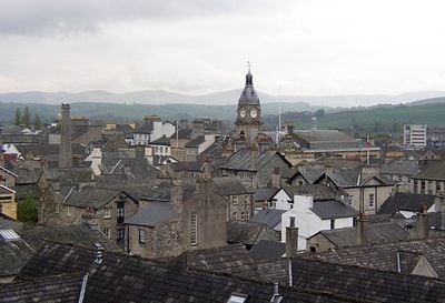
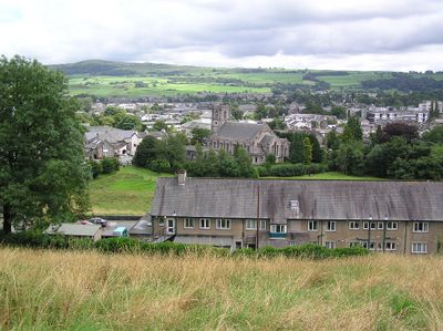
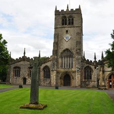
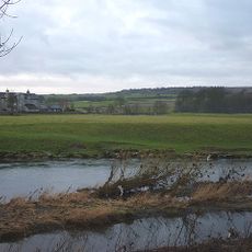
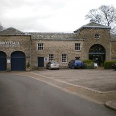
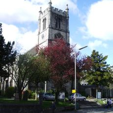
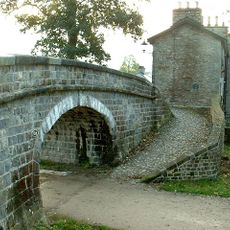
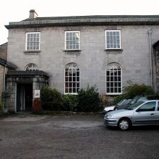
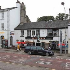
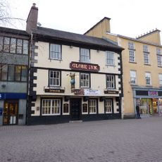
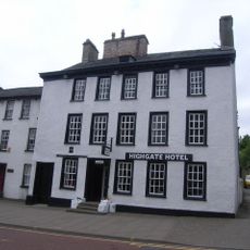
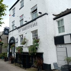
Kendal is an administrative center in Westmorland and Furness, England, situated along the River Kent valley with steep streets climbing toward a central high street lined with Georgian and Victorian buildings. The streets branch off from the main axis into narrow lanes and courtyards where shops and homes sit side by side.

History

The settlement received market rights in 1189 and grew into a center for wool trade during the medieval period, supported by the River Kent and its position on old trading routes. After textile production declined in the 19th century, it became the administrative seat for South Lakeland and later for Westmorland and Furness.

Culture

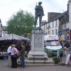
The name comes from the River Kent, with 'dale' meaning valley in Old Norse, reflecting the town's position at the foot of the Cumbrian fells. Locals still gather at the market on Wednesdays and Saturdays, a tradition that has continued for over eight centuries.

Practical

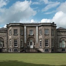
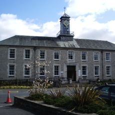
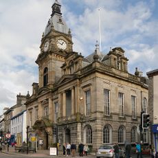
The town hall and South Lakeland House offer services for residents of Westmorland and Furness district, with both buildings located near the high street. The streets climb steeply, so sturdy footwear is recommended when exploring the different levels of the town.

Did you know?

Samuel Gawith & Co operates a snuff factory where 18th-century machinery remains in use today, making it among the oldest functioning industrial equipment in the world. The factory sits by the riverbank and still uses water-powered rollers to grind tobacco.

GPS coordinates
54.32600,-2.74500
Latest update
December 14, 2025 17:03

AroundUs brings together thousands of curated places, local tips, and hidden gems, enriched daily by 60,000 contributors worldwide. Discover all places nearby (Westmorland and Furness).

« Kendal - Administrative center in Westmorland and Furness, England » is provided by Around Us (aroundus.com). Images and texts are derived from Wikimedia project under a Creative Commons license. You are allowed to copy, distribute, and modify copies of this page, under the conditions set by the license, as long as this note is clearly visible.

Discover hidden gems everywhere you go!

From secret cafés to breathtaking viewpoints, skip the crowded tourist spots and find places that match your style. Our app makes it easy with voice search, smart filtering, route optimization, and insider tips from travelers worldwide. Download now for the complete mobile experience.

Around Us App Screenshot

A unique approach to discovering new places

Le Figaro

All the places worth exploring

France Info

A tailor-made excursion in just a few clicks

20 Minutes

Around Us
Travel Guide & Maps
Download

Send to your phone

QR Code
1

Open the camera app on your mobile.

2

Point at the QR code with your camera. A notification will appear.

3

Tap the notification to open the link.