
Calow, village and civil parish in North East Derbyshire, England
Location: North East Derbyshire
Shares border with: Chesterfield, Grassmoor, Hasland and Winsick, Temple Normanton, Sutton cum Duckmanton, Staveley, Brimington
GPS coordinates: 53.23540,-1.37740
Latest update: March 6, 2025 18:28

Church of St Mary and All Saints, Chesterfield
3.1 km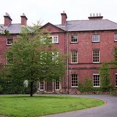
Tapton House
2.7 km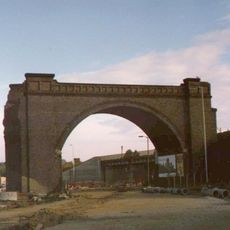
Horns Bridge
3 km
Chesterfield Museum and Art Gallery
3.1 km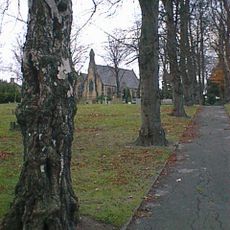
St Paul's Church
3.2 km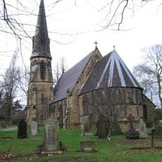
Church of St Peter
884 m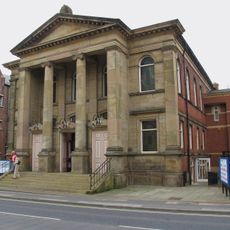
Central Methodist Church
3.4 km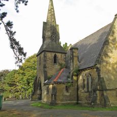
Cemetery Church And Chapel At Spital Cemetery
2.6 km
Unitarian Chapel
3.3 km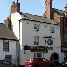
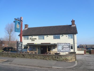
The Spread Eagle Public House
3.3 km
War Memorial in Churchyard to North East of St Mary's Church
3.1 km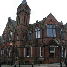
Stephenson Memorial Hall
3.1 km
Winding Wheel
3.1 km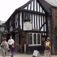
The Royal Oak Inn
3.4 km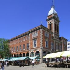
The Market Hall
3.5 km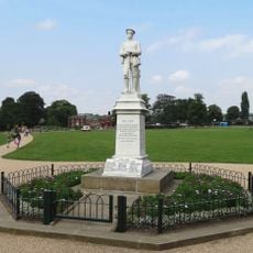
Hasland War Memorial
2.6 km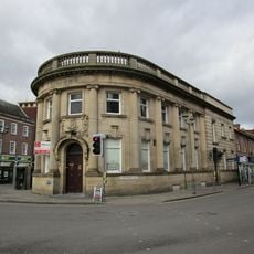
William And Glyn's Bank And Bank Chambers
3.2 km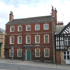
42, St Mary's Gate
3.1 km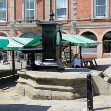
The Town Pump
3.4 km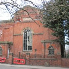
Physiotherpay Department Of Royal Hospital
3.1 km
9, Beetwell Street
3.3 km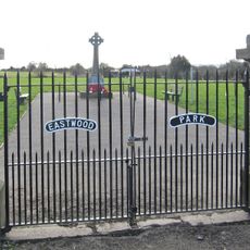
Calow War Memorial
251 m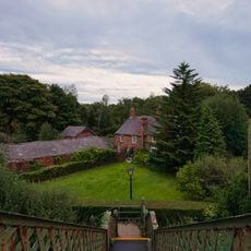
The Court House (Including Range Of Adjoining Buildings)
2.8 km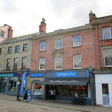
43, Low Pavement
3.4 km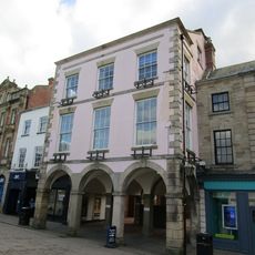
41, Low Pavement
3.4 km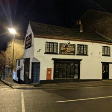
Holywell Cross Post Office
3.2 km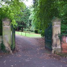
Gatepiers At Tapton House
2.7 km
Mounting Block Outside Entrance Gates To Tapton House
2.7 kmVisited this place? Tap the stars to rate it and share your experience / photos with the community! Try now! You can cancel it anytime.
Discover hidden gems everywhere you go!
From secret cafés to breathtaking viewpoints, skip the crowded tourist spots and find places that match your style. Our app makes it easy with voice search, smart filtering, route optimization, and insider tips from travelers worldwide. Download now for the complete mobile experience.

A unique approach to discovering new places❞
— Le Figaro
All the places worth exploring❞
— France Info
A tailor-made excursion in just a few clicks❞
— 20 Minutes