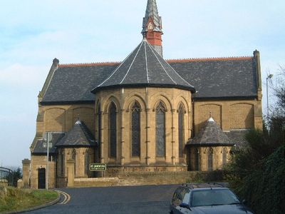
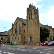
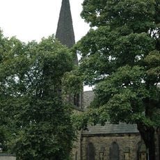
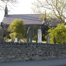
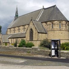
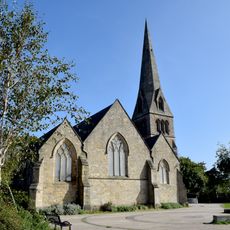
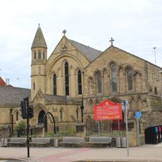
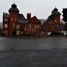
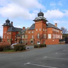
Felling, urban area in the metropolitan borough of Gateshead, Tyne and Wear, England
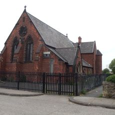
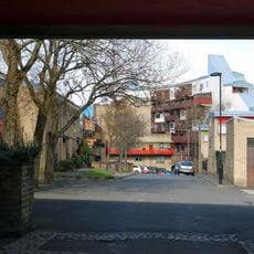
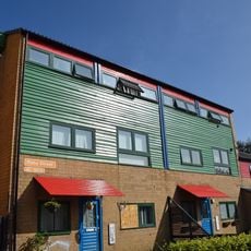
Felling is a village in Gateshead with houses built in the late 19th and early 20th centuries standing along its streets. The settlement spreads across gentle, flat terrain with small parks and green spaces woven through residential areas.
The name comes from tree felling in earlier times, and the area was established as a district in 1894. Felling grew as a center for coal mining, quarrying, and industrial work, which shaped how generations lived and worked there.
Felling developed as a place where people gathered in pubs and on main streets to share their daily lives. This community spirit shaped the village's identity and remains visible today in how residents value their local traditions and connections to the area's past.
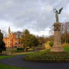
The place is well served by bus connections linking it to Gateshead and nearby towns. The flat terrain and proximity to parks make it straightforward to walk around and get your bearings.
A striking local connection to a major world event comes through John Brown-King from nearby Windy Nook, who is believed to have fired the first shot of the First World War from a ship called The Amphion. This story links the small village to a significant moment in global history.
The community of curious travelers
AroundUs brings together thousands of curated places, local tips, and hidden gems, enriched daily by 60,000 contributors worldwide.