Lost Gardens of Heligan, Botanical garden in St Austell, England
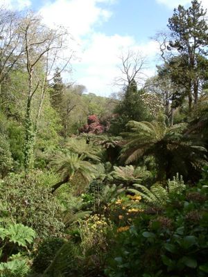
The Lost Gardens of Heligan is a botanical garden in Cornwall that spans extensive grounds and combines multiple garden areas with different styles and purposes. These include productive vegetable sections, ornamental plantings, man-made lakes, and specialized zones such as an Italian garden and historic glasshouse areas.
These gardens developed from the mid-18th century under the Tremayne family and grew across generations through continued investment and expansion. The site fell into significant decline after World War I when many staff members left for military service and did not return.
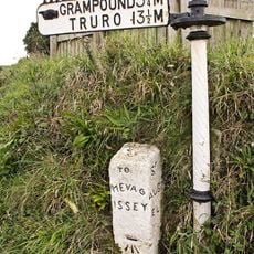
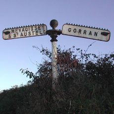
The name reflects these gardens' rediscovery after decades of abandon, a narrative that visitors experience through restored spaces showing how gardeners once worked here. You sense this reclaimed history as you walk past productive sections and decorative plantings that required constant care and skill.
The site is accessible on foot, but the grounds are very extensive, so visitors should allow plenty of time and wear sturdy footwear for the visit. Marked paths lead through the various garden sections, though some areas feature uneven terrain and require climbing stairs.
One of the most remarkable features is a still-functioning historic glasshouse heated by layers of decomposing horse manure – a technique that has virtually disappeared everywhere else. This traditional method demonstrates how gardeners grew tropical fruits in a temperate climate decades ago.
The community of curious travelers
AroundUs brings together thousands of curated places, local tips, and hidden gems, enriched daily by 60,000 contributors worldwide.