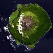
Foula, Remote inhabited island in Shetland, United Kingdom.
Description
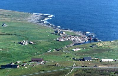
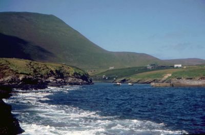
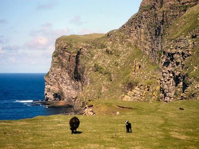
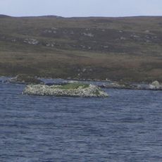
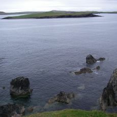
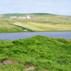
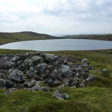
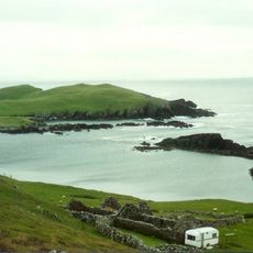
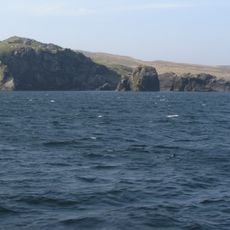
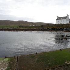
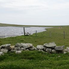
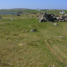
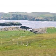
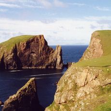
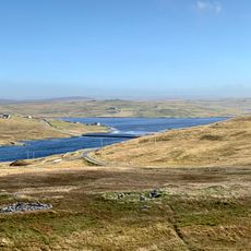
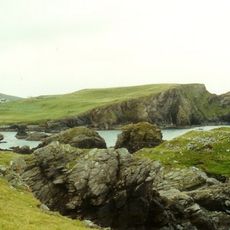
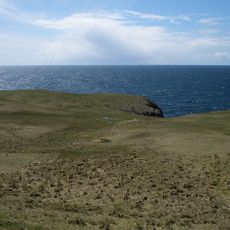
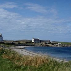
Foula is an inhabited island in Shetland covering roughly 1,265 hectares with five mountains, the highest being The Sneug at 418 meters. The landscape features open moorland, dramatic sea cliffs, and scattered lochs across rolling terrain.
History
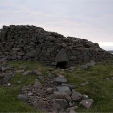
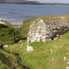
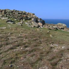
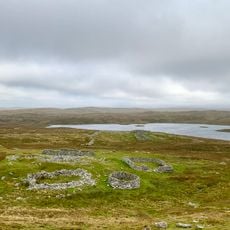
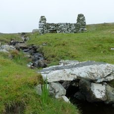
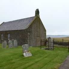
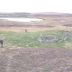
Archaeological evidence shows human settlement dating back over 5,000 years, with standing stones from ancient cultures still visible on the landscape. These early traces reveal the island's long continuity as a place of habitation.
Culture
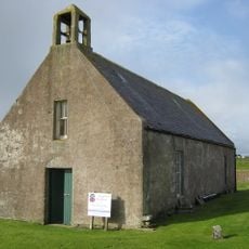
The small community here observes the Julian calendar and celebrates Christmas on January 6th rather than December 25th, a practice rooted in Norse heritage. This tradition shapes how life unfolds on the island throughout the year.
Practical
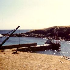
Getting there requires either a short flight from Tingwall airport or a ferry journey from Walls, both needing advance booking before you go. The weather can change quickly, so bring layers and good waterproof clothing for any time of year.
Did you know?
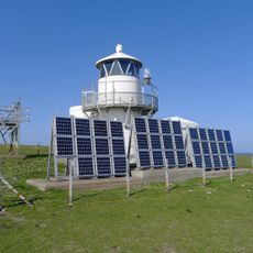
The island runs its own power system using wind turbines, hydroelectric generation, and solar panels to stay largely self-sufficient in energy. This setup demonstrates how remote communities manage their own resources in a harsh environment.
AroundUs brings together thousands of curated places, local tips, and hidden gems, enriched daily by 60,000 contributors worldwide. Discover all places nearby (Shetland Islands).
This collection covers places in remote deserts, isolated islands, and inaccessible mountain regions where human settlement is limited to a minimum. They range from research stations in Antarctica such as McMurdo Station and the Amundsen-Scott South Pole Station to the French Kerguelen Islands in...
Broch of Culswick
29.6 km
Huxter, Norse Mill
27.8 km
Burga Water,dun 2400m S of Voe of Snarraness
31 km
Foula Lighthouse
2.3 km
Cairns of Melby
30.1 km
Ve Skerries Lighthouse
30.2 km
Loch of Watsness,broch E of
24.2 km
Loch of Watsness,linear earthwork W of
24.1 km
Vivilie Loch, chambered cairn 450m WNW of Ward of Culswick
30.7 km
Littlure, burnt mound
25.7 km
Virda Field,cairn on summit,Papa Stour
29.9 km
Voe of Snarraness
32.3 km
Papa Stour, Biggings, Kirk And Kirkyard
30.1 km
Trolligarts,chambered cairn,homestead and field system SE of
31.2 km
Melby House
29.3 km
Footbridge, Norse Mills, Loch Of Breck
26.9 km
Haa Of Foula
1 km
Burrastow House
27.4 km
Loch of Huxter, broch
27.7 km
Sandness, St Margaret's Kirk And Graveyard
29.5 km
Northbanks,settlement and burnt mound E of,Papa Stour
31.3 km
Loch of Seligeo burnt mound
30.2 km
Muckle Flaes
29.2 km
Giltarump
31.6 km
Scord of Brouster, settlement and field system 205m W of Brouster
31.8 km
Bay of Garth
31.8 km
Lambigart
32.2 km
Melby, North House
29.3 kmDiscover hidden gems everywhere you go!
From secret cafés to breathtaking viewpoints, skip the crowded tourist spots and find places that match your style. Our app makes it easy with voice search, smart filtering, route optimization, and insider tips from travelers worldwide. Download now for the complete mobile experience.
A unique approach to discovering new places❞
— Le Figaro
All the places worth exploring❞
— France Info
A tailor-made excursion in just a few clicks❞
— 20 Minutes