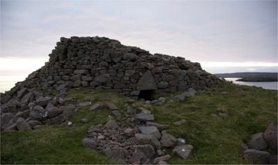
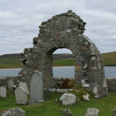
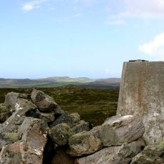
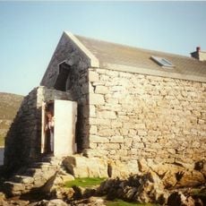
Broch of Culswick, Iron Age defensive structure in Sandsting, Shetland Islands, United Kingdom.
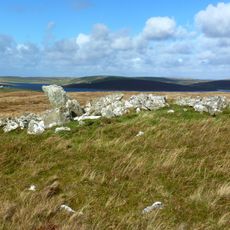
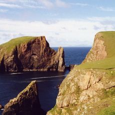
The Broch of Culswick is an Iron Age stone fortification situated on a coastal knoll in the Shetland Islands. The circular structure with double walls contains three internal passage galleries and features a triangular lintel at its entrance.
The structure was built during the Iron Age as a defensive fortification and remained substantially intact until the early 19th century. Historical drawings from that period document the original three-story construction before later decay occurred.
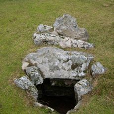
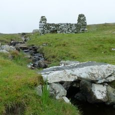
The broch reflects how Iron Age builders created functional spaces within double walls and integrated passage systems into the structure. This design allowed inhabitants to combine defensive shelter and storage within a compact circular form.
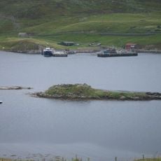
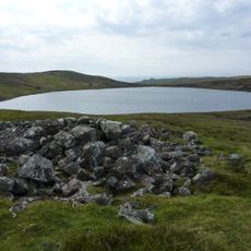
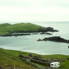
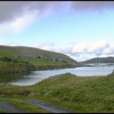
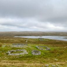
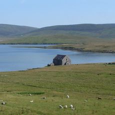
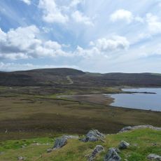
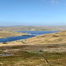
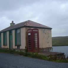
Access is via a track from Culswick hamlet that passes by Loch of Sotersta and ascends steeply in the final section. Visitors should wear sturdy footwear and prepare for changeable weather conditions typical of the island setting.
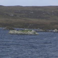
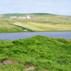
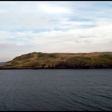
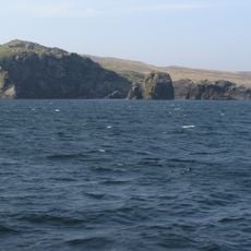
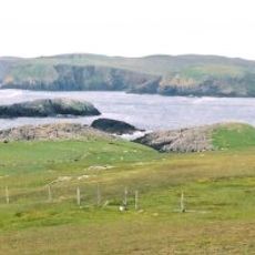
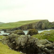
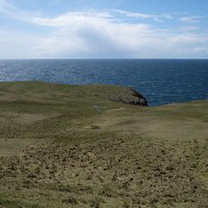
From its elevated position, the ruin offers views across the water toward the islands of Foula and Vaila, as well as toward Fitful Head and Fair Isle. This vantage point made it a strategic lookout location for ancient inhabitants.
Location: Shetland Islands
Location: Sandsting
GPS coordinates: 60.18684,-1.54389
Latest update: December 14, 2025 12:21
Stanydale Temple
6.3 km
Broch of West Burrafirth
12.4 km
Burga Water,dun 2400m S of Voe of Snarraness
9.4 km
Haa of Sand
9.3 km
St Mary's Chapel (Sand)
9.6 km
Fugla Ness Lighthouse
14.1 km
Vivilie Loch, chambered cairn 450m WNW of Ward of Culswick
1.6 km
Loch of Watsness,broch E of
9.8 km
Loch of Watsness,linear earthwork W of
10 km
Longa Ness,chambered cairn,farmsteads and field system,Noonsbrough
13.5 km
Littlure, burnt mound
5.8 km
Noonsbrough,burnt mound
13.1 km
Voe of Snarraness
12.2 km
Bekka Hill chambered cairn
9.9 km
Trolligarts,chambered cairn,homestead and field system SE of
7.7 km
Footbridge, Norse Mills, Loch Of Breck
5.3 km
Semblister, Semblister Church
10.1 km
Sandness, St Margaret's Kirk And Graveyard
14.3 km
Burrastow House
4.3 km
Muckle Flaes
567 m
Giltarump
3.3 km
Craw Knowe,chambered cairn
4.3 km
Scord of Brouster, settlement and field system 205m W of Brouster
6.8 km
Ward of Browland,chambered cairn
6.9 km
Bay of Garth
13.9 km
Lambigart
4.1 km
Tresta, Sandsound, The Store, Fishhouse
10.8 km
Bod Of Nesbister, Nesbister Point, Tingwall
14 kmVisited this place? Tap the stars to rate it and share your experience / photos with the community! Try now! You can cancel it anytime.
Discover hidden gems everywhere you go!
From secret cafés to breathtaking viewpoints, skip the crowded tourist spots and find places that match your style. Our app makes it easy with voice search, smart filtering, route optimization, and insider tips from travelers worldwide. Download now for the complete mobile experience.
A unique approach to discovering new places❞
— Le Figaro
All the places worth exploring❞
— France Info
A tailor-made excursion in just a few clicks❞
— 20 Minutes