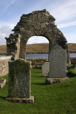
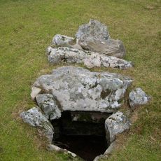
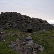
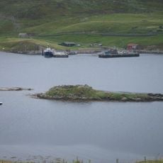
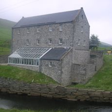
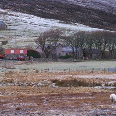
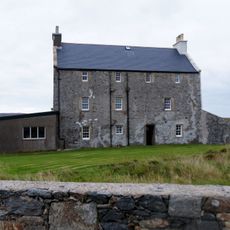
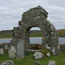
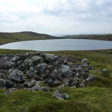
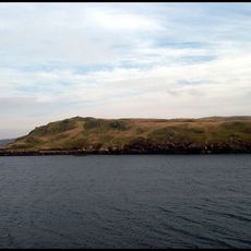
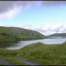
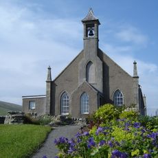
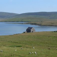
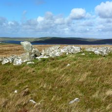
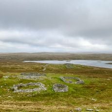
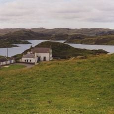
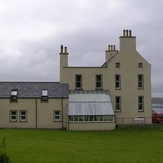
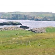
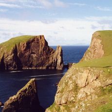
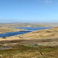
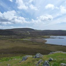
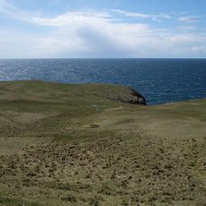
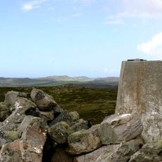
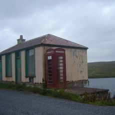
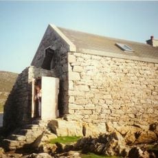
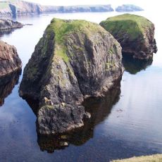
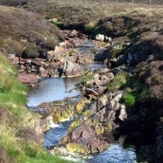
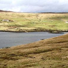
Sandsting, civil parish on Mainland, Shetland Islands, Scotland, UK
Location: Shetland Islands
Shares border with: Delting, Tingwall, Walls and Sandness
GPS coordinates: 60.25011,-1.43728
Latest update: March 5, 2025 13:00
Stanydale Temple
3.2 km
Broch of Culswick
9.2 km
Broch of West Burrafirth
7.7 km
Weisdale Mill
8.3 km
Quina Scord,chambered cairn 400m NW of Gillaburn
9.2 km
Burga Water,dun 2400m S of Voe of Snarraness
8.1 km
Haa of Sand
5.7 km
St Mary's Chapel (Sand)
5.8 km
Vivilie Loch, chambered cairn 450m WNW of Ward of Culswick
7.6 km
Longa Ness,chambered cairn,farmsteads and field system,Noonsbrough
6.5 km
Noonsbrough,burnt mound
5.6 km
Weisdale, Parish Church
8.2 km
Semblister, Semblister Church
3 km
Bekka Hill chambered cairn
3.9 km
Trolligarts,chambered cairn,homestead and field system SE of
6.7 km
Vementry, Norse Mill
7.8 km
Burrastow House
9.8 km
Muckle Flaes
9.3 km
Giltarump
9.9 km
Scord of Brouster, settlement and field system 205m W of Brouster
5.7 km
Craw Knowe,chambered cairn
5.1 km
Lambigart
10.2 km
Ward of Browland,chambered cairn
4.5 km
Tresta, Sandsound, The Store, Fishhouse
5 km
Bod Of Nesbister, Nesbister Point, Tingwall
10.8 km
Burga Stacks
9.1 km
Burn of Lunklet SSSI
7.9 km
East Burra Firth
7.3 kmReviews
Visited this place? Tap the stars to rate it and share your experience / photos with the community! Try now! You can cancel it anytime.
Discover hidden gems everywhere you go!
From secret cafés to breathtaking viewpoints, skip the crowded tourist spots and find places that match your style. Our app makes it easy with voice search, smart filtering, route optimization, and insider tips from travelers worldwide. Download now for the complete mobile experience.
A unique approach to discovering new places❞
— Le Figaro
All the places worth exploring❞
— France Info
A tailor-made excursion in just a few clicks❞
— 20 Minutes