Mull of Kintyre, Coastal headland in Argyll and Bute, Scotland
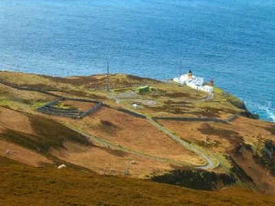
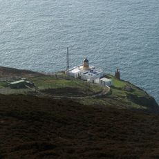
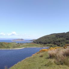
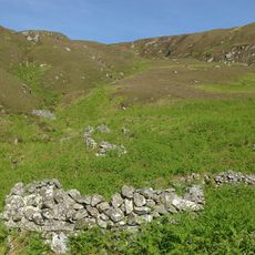
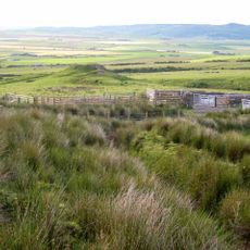
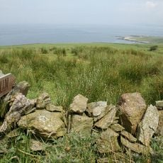
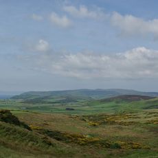
The Mull of Kintyre is a headland at the southwestern tip of the Kintyre Peninsula, forming steep cliffs above the North Channel. The cape juts far into the sea and marks the boundary between Scotland and Northern Ireland.
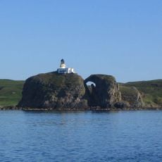
Thomas Smith built the lighthouse in 1788 to guide ships through the dangerous waters. The lighthouse remained in operation for over two centuries and was automated only in the late 20th century.
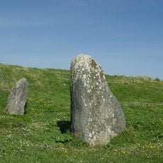
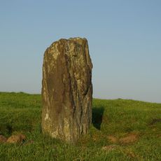
The name comes from Gaelic 'Maol Chinn Tìre', meaning bare head of the land, describing the rocky shape of the cape. Local fishermen have used this coastal landmark for navigation across generations.
The route to the cape runs about 10 miles from Campbeltown along a narrow road with passing places. Plan your visit during clear weather to enjoy the views across the water.
On clear days, you can see the Antrim coast of Northern Ireland across the channel. The distance to the Irish shore is only about 12 miles, closer than the Scottish mainland in some directions.
The community of curious travelers
AroundUs brings together thousands of curated places, local tips, and hidden gems, enriched daily by 60,000 contributors worldwide.