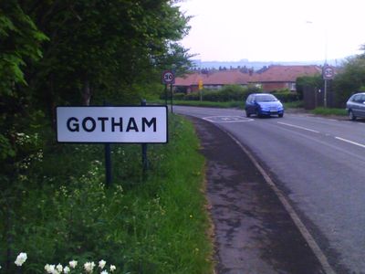
Gotham, Civil parish and village in Nottinghamshire, England.
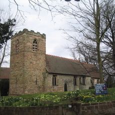
Gotham is a village and civil parish in Nottinghamshire, England, located within the Rushcliffe district. It consists of traditional English houses, farmland, and open spaces arranged around a modest village center.
During World War II, signage bearing the village name was removed as a precaution against enemy forces identifying the location. This security measure reflected broader defensive strategies used across the region.
Medieval tales describe villagers who pretended to be foolish to stop a king from building a royal road through their settlement. These stories remain central to how the place is known and remembered locally.
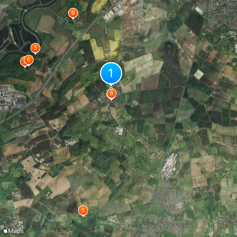
The village is accessible by car through local roads with limited roadside parking available. Visitors should note that amenities are sparse in the settlement itself, with most services found in larger nearby towns.
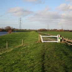
The Cuckoo Bush Mound is a Neolithic burial site linked to local folklore about villagers attempting to trap a cuckoo bird. This ancient monument connects early prehistory to the later traditions of the place.
Location: Rushcliffe
Website: http://gothamvillage.org.uk/category/parish-council
GPS coordinates: 52.86900,-1.20500
Latest update: December 7, 2025 09:22
Thrumpton Hall
2.8 km
Bunny Hall
4.9 km
Nottingham Transport Heritage Centre
4.2 km
Trent Valley Way
2.7 km
Kingston Hall
3.9 km
St Mary's Church, East Leake
4.5 km
St Lawrence's Church, Gotham
367 m
St Mary's Church, Bunny
4.7 km
St. George's Church, Barton in Fabis
2.7 km
Holy Trinity Church, Ratcliffe-on-Soar
4.4 km
St. Helena's Church, West Leake
4.2 km
St. Winifred's Church, Kingston on Soar
4.4 km
All Saints’ Church, Thrumpton
2.7 km
NHR - Nottingham Heritage Railway - (Ruddington, Station)
4.3 km
The Rancliffe Arms
4.8 km
East Leake War Memorial
4.5 km
Gotham Library
115 m
Old School Incorporating Schoolhouse And Almshouses
4.8 km
White House And Adjoining Barn
4.7 km
K6 Telephone Kiosk
4.5 km
The Well House
343 m
Number 5 And The Post Office
4.7 km
The Pinfold
4.5 km
9, 11, 15, 17 And 19, The Green
4.4 km
Lychgate At Entrance To Churchyard Of Church Of St Winifred
4.4 km
Pumphouse
4.4 km
21, 23, 25 And 27, The Green
4.4 km
Number 25 Incorporating The Post Office
4.5 kmVisited this place? Tap the stars to rate it and share your experience / photos with the community! Try now! You can cancel it anytime.
Discover hidden gems everywhere you go!
From secret cafés to breathtaking viewpoints, skip the crowded tourist spots and find places that match your style. Our app makes it easy with voice search, smart filtering, route optimization, and insider tips from travelers worldwide. Download now for the complete mobile experience.
A unique approach to discovering new places❞
— Le Figaro
All the places worth exploring❞
— France Info
A tailor-made excursion in just a few clicks❞
— 20 Minutes