Enable Location

We need your location to show you interesting places around you

Discover nearby places

Find interesting locations and hidden gems around you

Precise directions

Get accurate directions and distances to places

Your location is never shared with other users. It's only used when you tap the location button.

Trent Valley Way

Log in to your account

Start exploring — it's free

Trusted by 62,800 travelers worldwide

Continue with Google
Continue with Apple
or

We will send you a code to connect

By continuing, you accept our Terms and Conditions and our Privacy Policy

Check your inbox

We've sent a pincode in your inbox. Please enter the code below.

Trent Valley Way

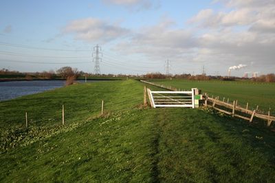
Trent Valley Way, footpath along the River Trent

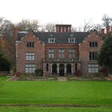
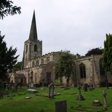
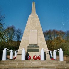
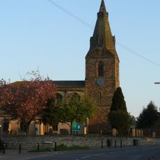
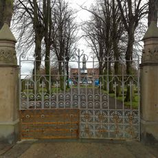
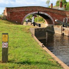
The Trent Valley Way is a long-distance trail following the River Trent through Nottinghamshire and Lincolnshire, covering roughly 84 miles and being extended to reach the Humber Estuary. The path winds through open fields, villages, and urban areas, passing historic structures including mill ruins and the former Gunthorpe Toll Bridge site.

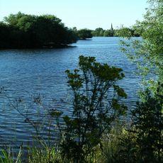
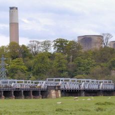
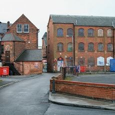
The route follows a river that has shaped regional life for centuries, with visible remnants of ancient Viking trade routes along its course. The trail connects industrial heritage with a landscape carved by glacial forces in prehistoric times.

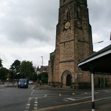
Communities along the route live closely connected to the river, using it for work and daily recreation. Locals and visitors often pause at small cafes and shops in the towns, observing how people have built their lives around this waterway for generations.

Carrying a map or downloading the GPX file helps keep you on the marked path and avoids confusion along the way. The trail has varied sections, with some gentle and accessible stretches perfect for families, while others include uneven ground and mild climbs.

The trail is still being developed and improved by volunteers and local groups working to extend safe pathways and add clear signage for walkers. A notable feature is the return of beavers to the river, indicating improved water conditions and ecosystem recovery.

The community of curious travelers

AroundUs brings together thousands of curated places, local tips, and hidden gems, enriched daily by 60,000 contributors worldwide.

Start exploring
Location
GPS coordinates
52.87890,-1.24090
Latest update
February 9, 2026 08:21
« Trent Valley Way - footpath along the River Trent » is provided by Around Us (aroundus.com). Images and texts are derived from Wikimedia project under a Creative Commons license. You are allowed to copy, distribute, and modify copies of this page, under the conditions set by the license, as long as this note is clearly visible.

Discover hidden gems everywhere you go!

From secret cafés to breathtaking viewpoints, skip the crowded tourist spots and find places that match your style. Our app makes it easy with voice search, smart filtering, route optimization, and insider tips from travelers worldwide. Download now for the complete mobile experience.

Around Us App Screenshot

A unique approach to discovering new places

Le Figaro

All the places worth exploring

France Info

A tailor-made excursion in just a few clicks

20 Minutes

Around Us
Travel Guide & Maps
Download

Send to your phone

QR Code
1

Open the camera app on your mobile.

2

Point at the QR code with your camera. A notification will appear.

3

Tap the notification to open the link.