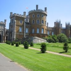
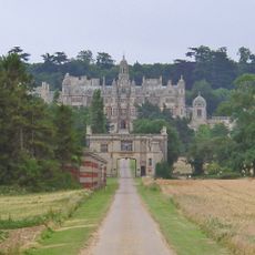
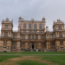
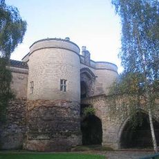
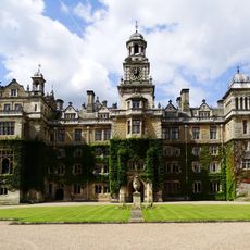
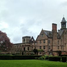
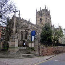
Nottinghamshire, Ceremonial county in East Midlands, England
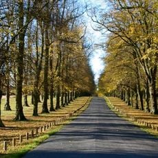
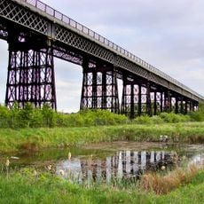
Nottinghamshire stretches across the East Midlands and borders South Yorkshire, Lincolnshire, Leicestershire, and Derbyshire with a mix of urban centers and open countryside. The Trent river cuts through from south to north, dividing western hills from eastern plains that reach toward the Lincolnshire coast.
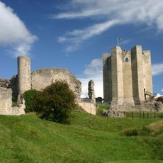
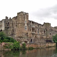
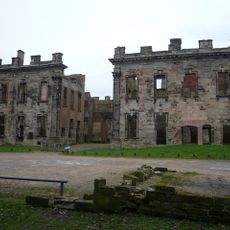
Roman settlements appeared along military routes and near present-day Newark before Anglo-Saxon kingdoms took over and assigned the region to Mercia. The Middle Ages saw the area shaped by coal mining and textile production, while the twentieth century brought the decline of the mining industry.
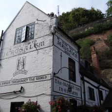
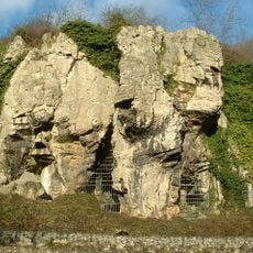
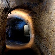
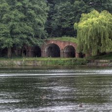
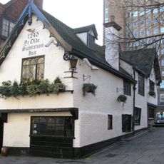
The name derives from Anglo-Saxon Snotengaham, referring to cave dwellers along the Trent river. Many towns still show sandstone caves beneath their streets, used for centuries as homes and storage spaces and now occasionally open for visits.
Trains link larger towns regularly to London and northern cities, while coaches reach smaller villages and rural areas. Most points of interest sit along well-marked roads, but the flat eastern bank of the Trent suits cyclists and walkers better than the steeper western hills.
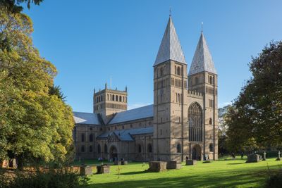
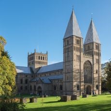
The town of Worksop sits on one of the largest natural gypsum deposits in Europe, which occasionally causes subsidence beneath buildings. Near Southwell grows a variety of Bramley apple that originated from a seedling in the nineteenth century and is now used worldwide for cooking recipes.
The community of curious travelers
AroundUs brings together thousands of curated places, local tips, and hidden gems, enriched daily by 60,000 contributors worldwide.