Shap, village in Cumbria, United Kingdom
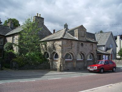
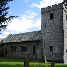
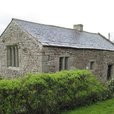
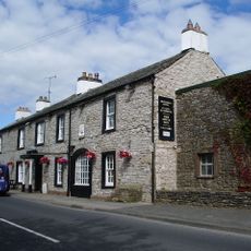
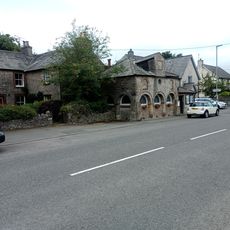
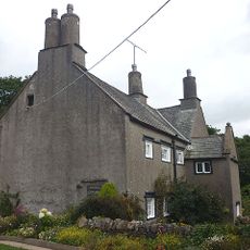
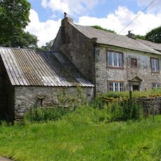
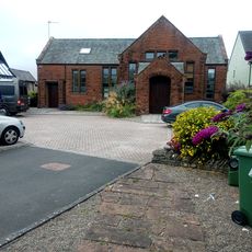
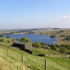
Shap is a small village in the Eden area of Cumbria that stretches along a main road and is surrounded by rolling hills. It has several shops including a butcher and small market, along with traditional pubs where travelers have stopped for centuries.
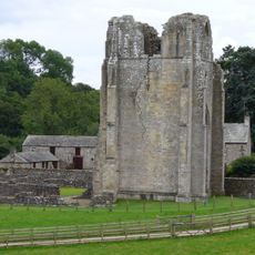
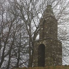
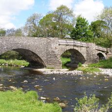
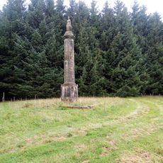
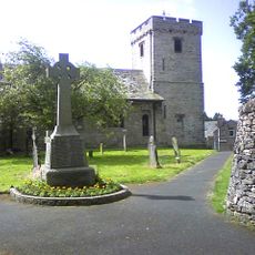
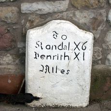
Shap received market rights in the 1600s and served as an important stopping point on the trade route between England and Scotland. Shap Abbey, built in the late 1100s, was closed in the 1540s during Henry VIII's reign, leaving ruins that still stand today.
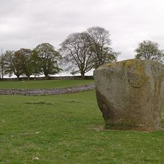
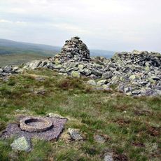
Shap takes its name from ancient stones or circles that may have stood here long ago. The village was granted market rights centuries ago and remains a gathering place where locals and visitors meet in traditional pubs to share stories and experience community life.
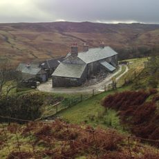
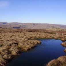
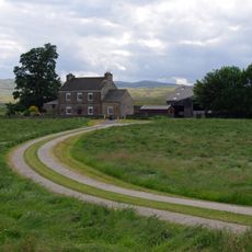
The village is easily reached by car and sits on a main road, making it a natural stop on longer journeys. Visitors find shops, cafes, and pubs for refreshment, along with walking trails that pass through the surrounding countryside.
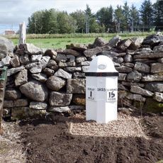
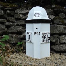
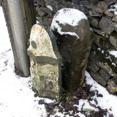
The village is known for its pink granite stone that was used in major buildings across the United Kingdom, including St Paul's Cathedral in London. A granite works about one mile from the village supplied this distinctive stone for important projects.
The community of curious travelers
AroundUs brings together thousands of curated places, local tips, and hidden gems, enriched daily by 60,000 contributors worldwide.